Dalemain Loop
A gentle circular walk through riverside paths, historic parkland and Dacre’s stories
DISTANCE
8 km / 5 miles
TIME
2-3 hours
DIFFICULTY
Easy
ROUTE TYPE
Circular
A walk of bears, castles and marmalade
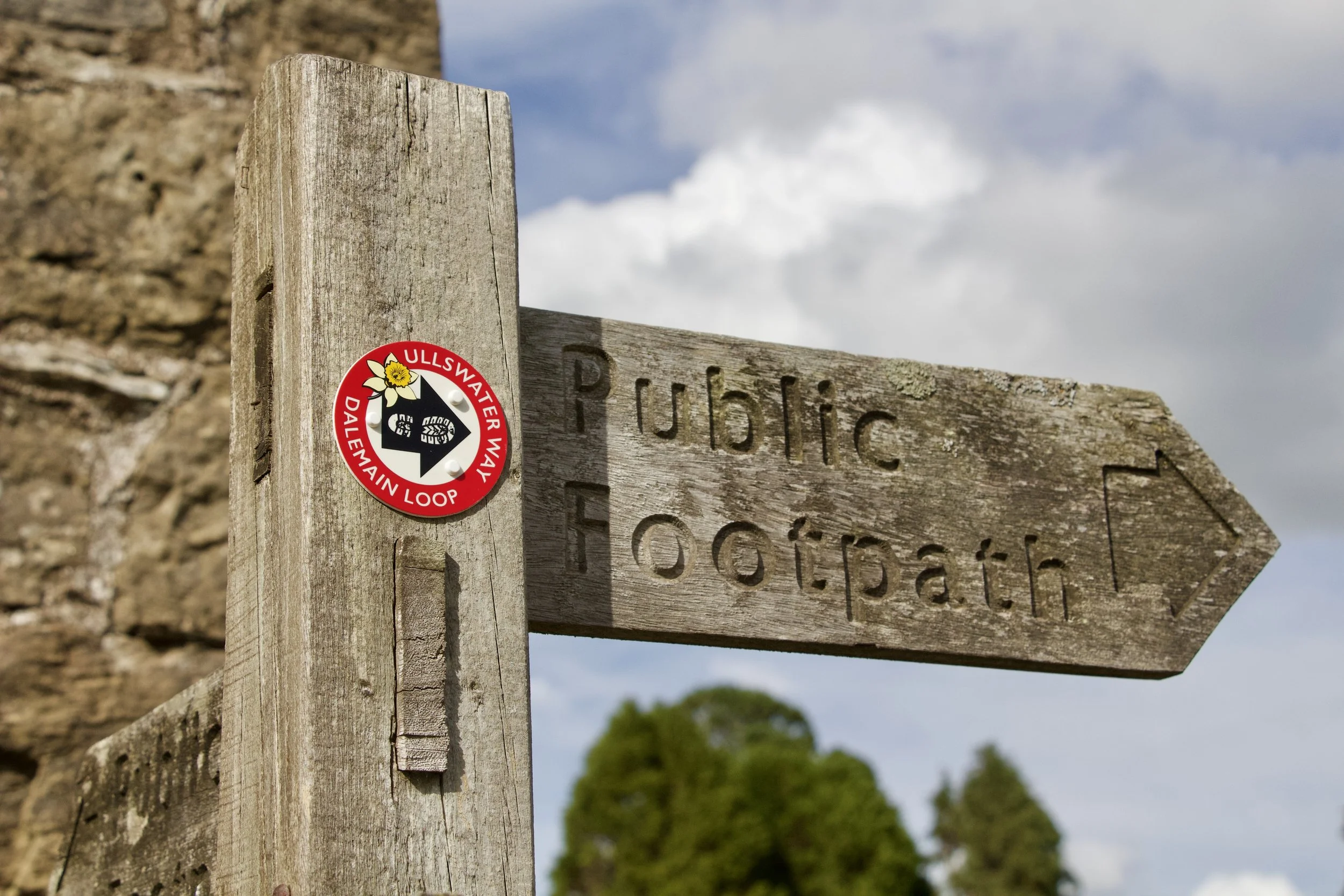
The Dalemain Loop is a 5-mile / 8 km circular walk linking Pooley Bridge with Dalemain Mansion, Dacre and the River Eamont.
Branching from the Ullswater Way, this low-level route follows riverside paths, pastureland, historic parkland and quiet country lanes. Along the way it connects some of the gentler countryside north of Ullswater with Dalemain Mansion, Dacre Castle, St Andrew’s Church and the curious stone animals known as the Dacre Bears.
The route can be explored on foot from Pooley Bridge or Dalemain, and the Dalemain Loop Aerial Tour offers another way to preview the walk and discover stories along the way.
The route at a glance
Bears, castles, riverside paths and parkland
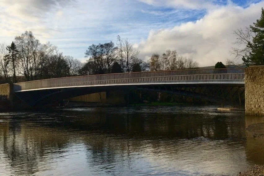
Pooley Bridge and the River Eamont
Start or finish beside the river that carries Ullswater northwards. Pooley Bridge marks the gateway between village, lake and countryside, and links the Dalemain Loop naturally with the Ullswater Way and Eamont Way.
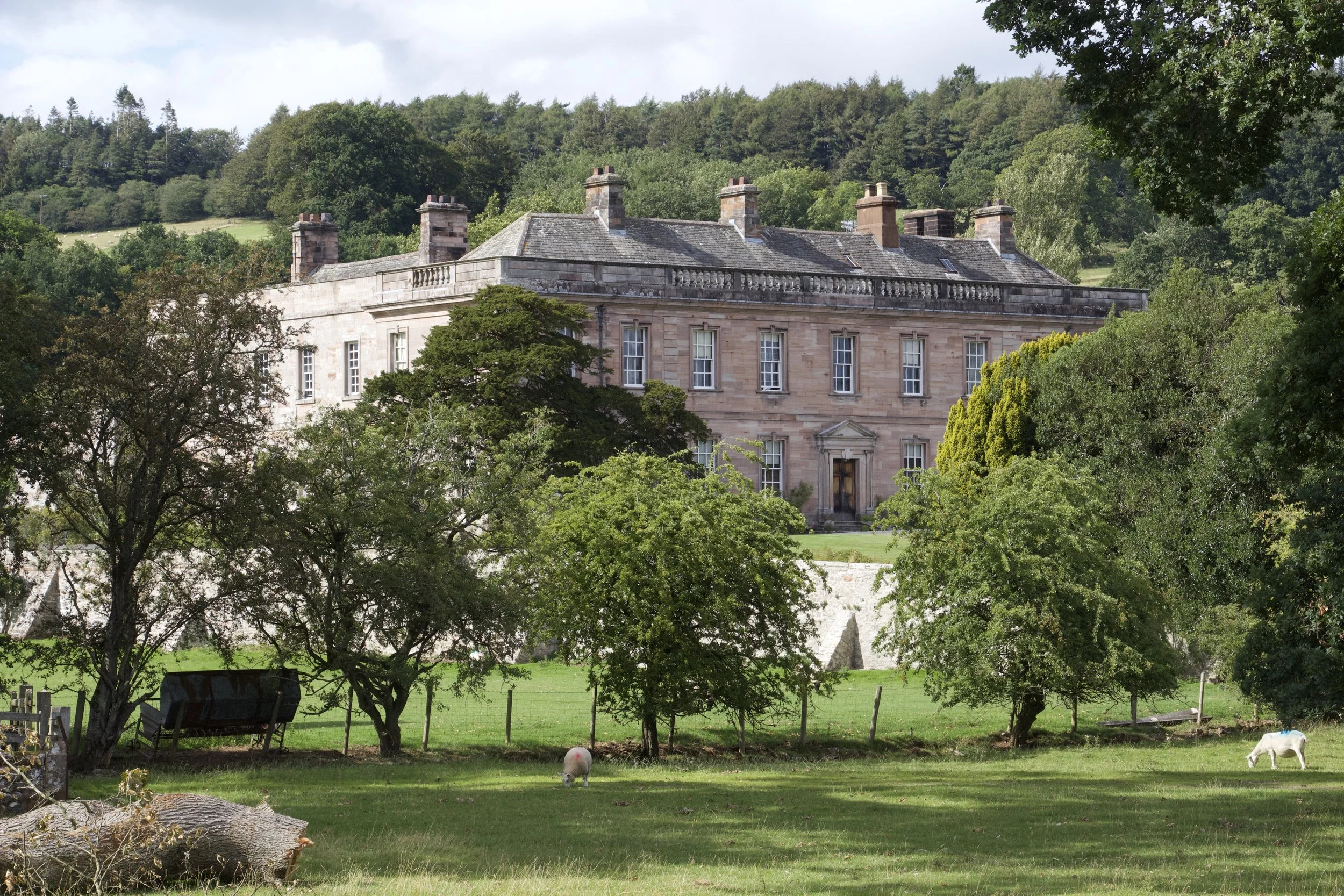
Dalemain Mansion and Gardens
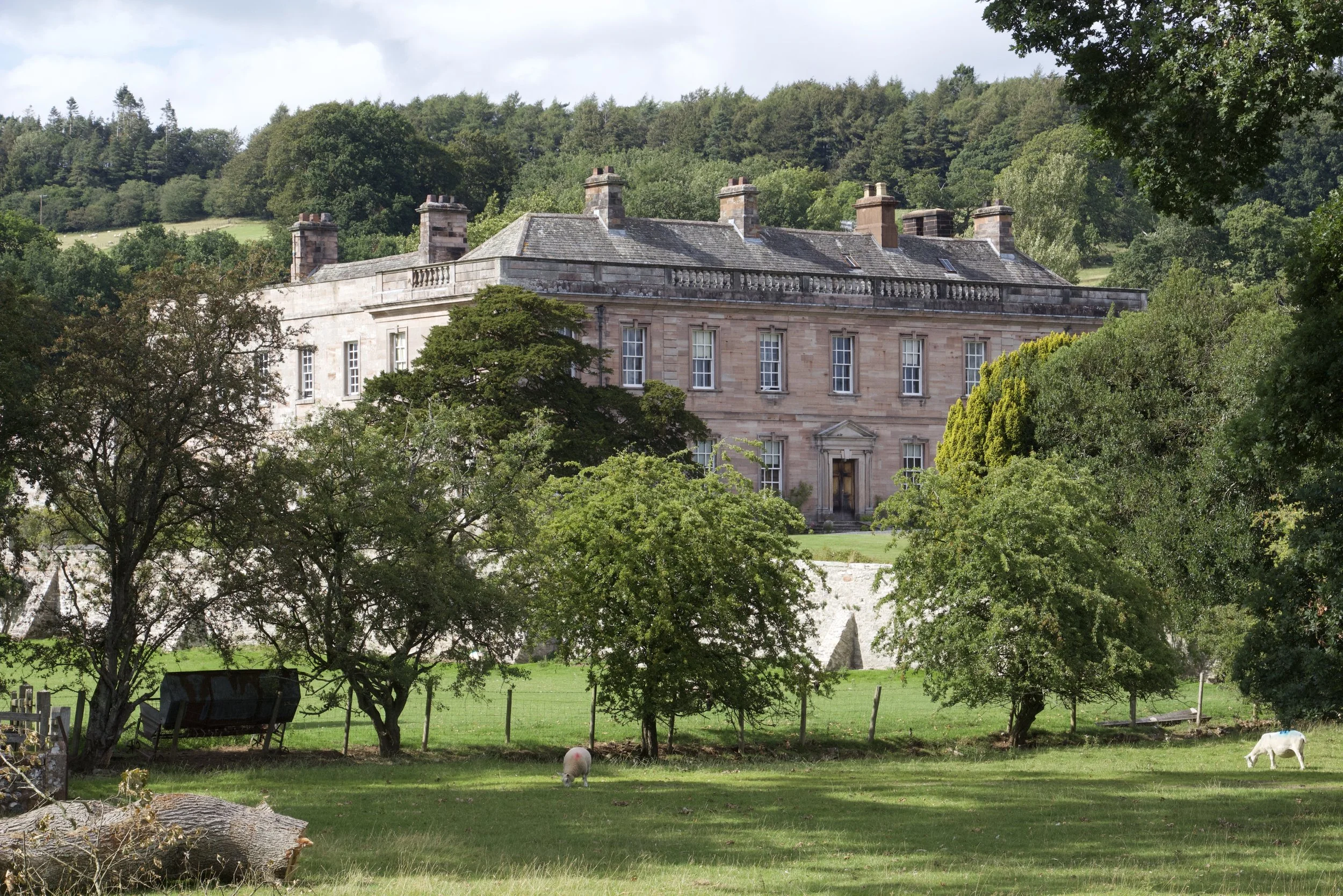
A historic house and estate with gardens, parkland, tearoom and long connections to the surrounding landscape. Dalemain gives the loop one of its main heritage anchors.
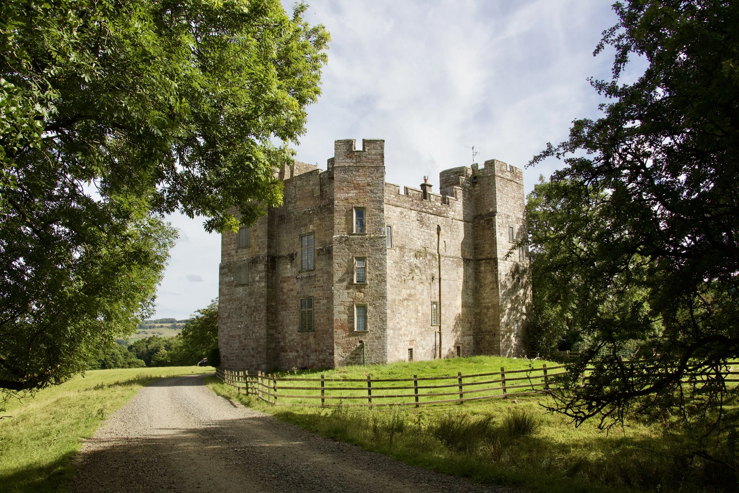
Dacre Castle
Look out for the imposing 14th-century castle as you approach Dacre, one of the historic villages north of Ullswater.
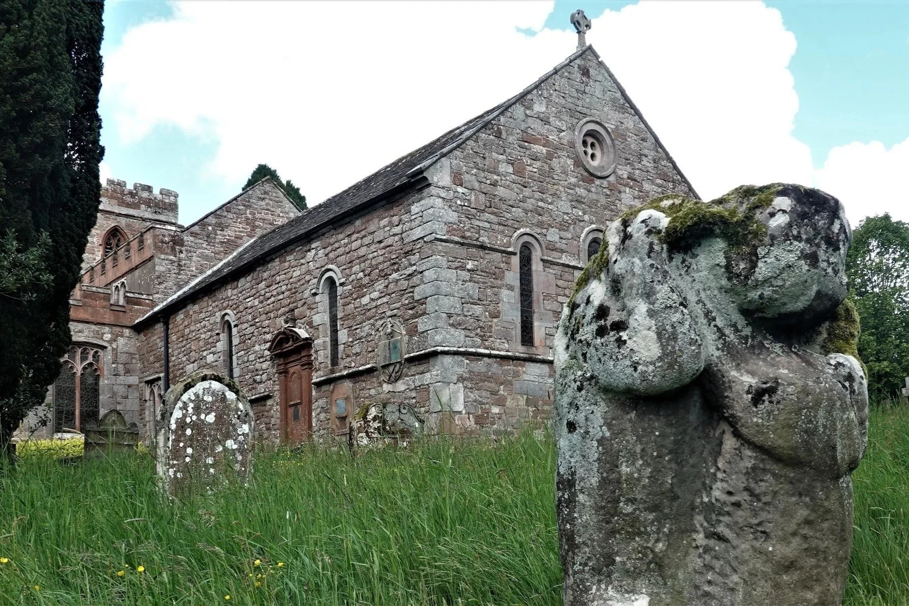
Dacre Church and Dacre Bears
St Andrew’s Church is home to four curious stone animals in the churchyard, often known as the Dacre Bears.
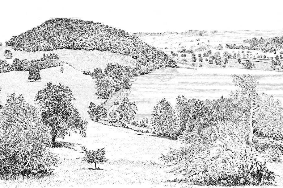
Historic pastureland and parkland
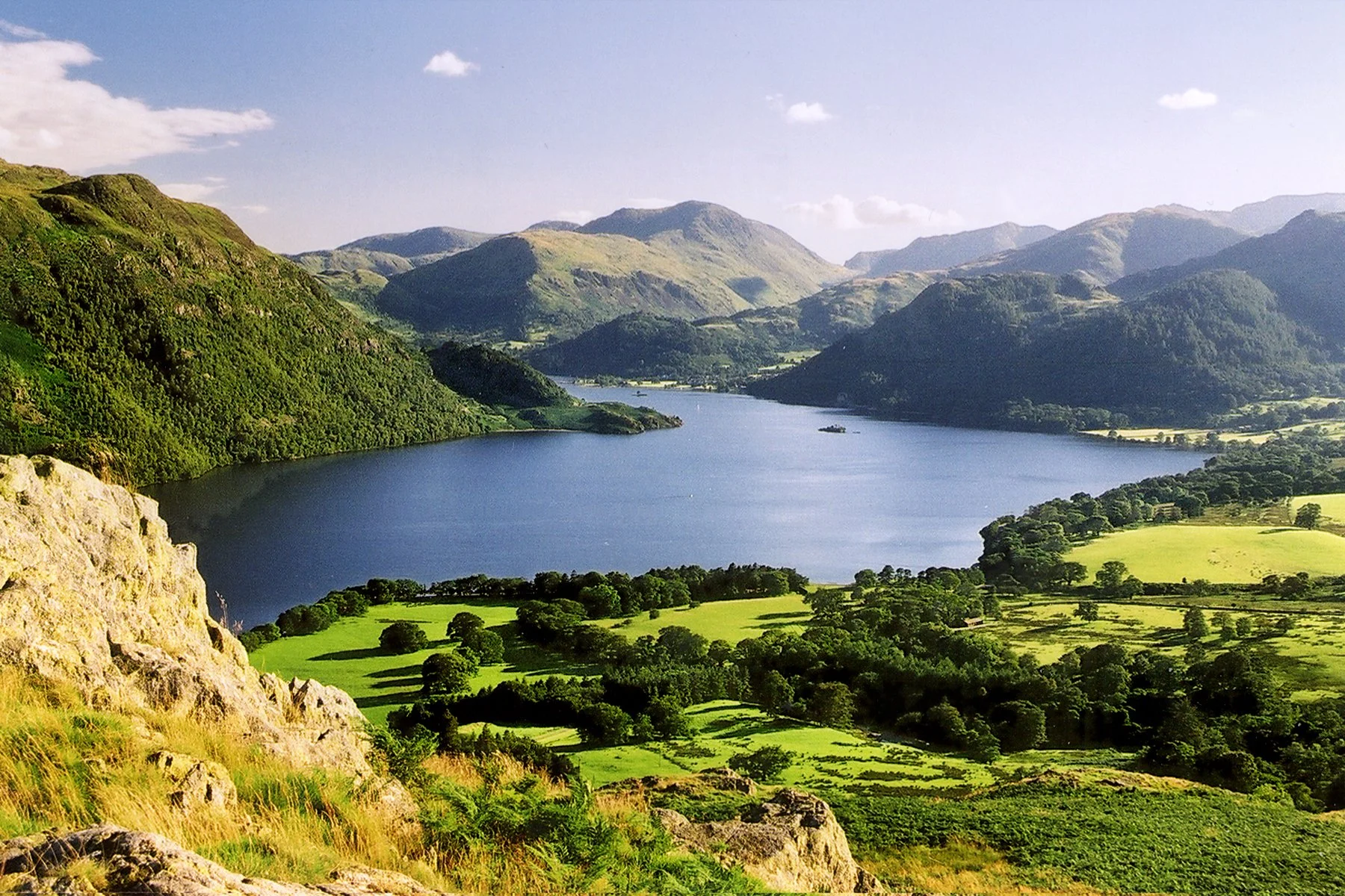
Much of the route passes through the gentler landscape north of Ullswater — fields, meadows, estate land and old routes shaped by farming and settlement.

Dunmallard Hill
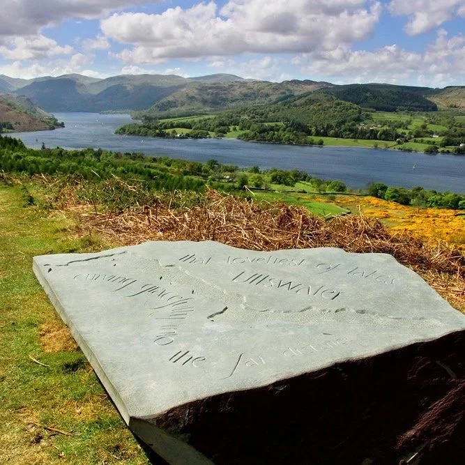
The wooded hill above Pooley Bridge marks the return towards Ullswater and has long been a distinctive feature of the northern lakeshore.
Route maps and downloads
You’re welcome to download the GPX route and map before setting off. They are intended as a guide, so please check current conditions, rights of way, opening times and transport before travelling.
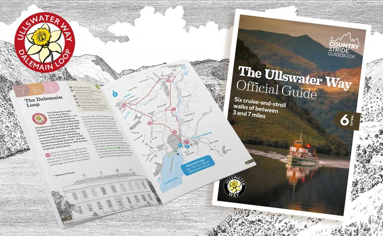
Buy the guidebook
The Dalemain Loop is included in the Ullswater Way Official Guide by Mark Richards, which is useful for exploring shorter walks and linked routes around Ullswater. You can buy the guidebook from local shops and information centres, or order online.
Click the guide below to go directly to the order page.
Explore the route from above
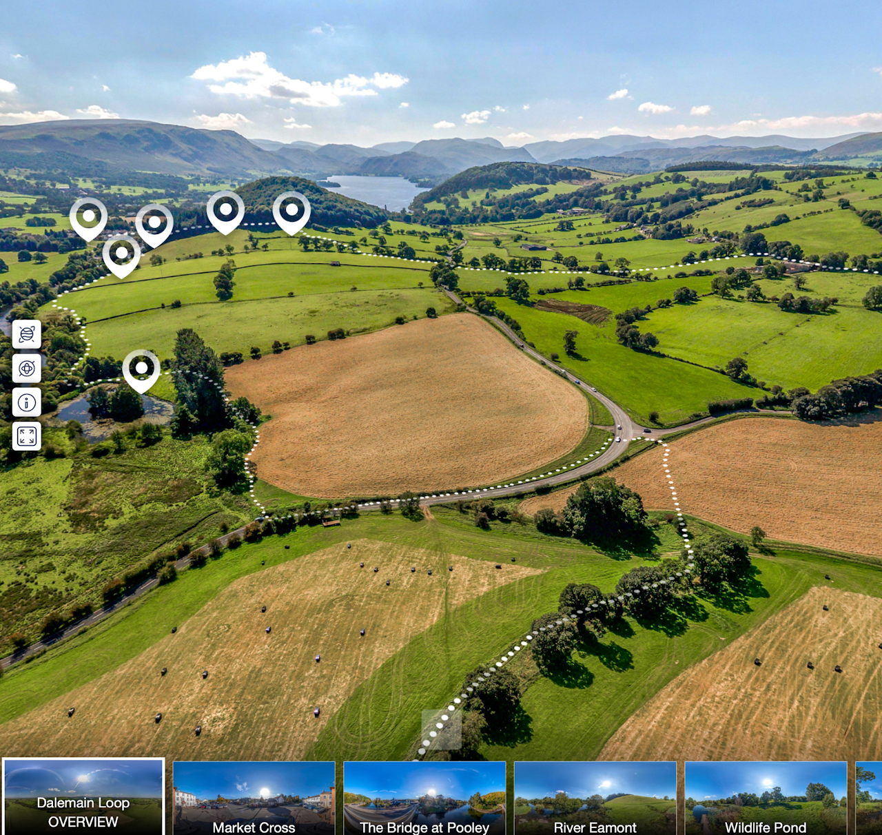
The Dalemain Loop Aerial Tour lets you see the route from a new perspective. Follow the walk across the landscape, look out over the River Eamont, Dalemain, Dacre and Dunmallard Hill, and click on the icons to discover stories and points of interest along the way.
It is a useful way to preview the walk before setting off — or to explore the route from home.
Plan your walk
Use this section to check travel options, terrain, facilities, accessibility and countryside care before setting out. Always check current maps, timetables and weather, especially outside the main visitor season.
-
The Dalemain Loop can be started from either Pooley Bridge or Dalemain.
Pooley Bridge is the best option if you are arriving by public transport, linking with the Ullswater Way, or walking in from Penrith via the Eamont Way. From Pooley Bridge, you can continue to the Ullswater ‘Steamers’ pier for onward travel to Howtown, Glenridding and Aira Force.
Dalemain may suit visitors arriving by car or planning to visit the house, gardens or café. Check current opening times and parking information before travelling, especially if you plan to visit Dalemain itself.
Useful links:
-
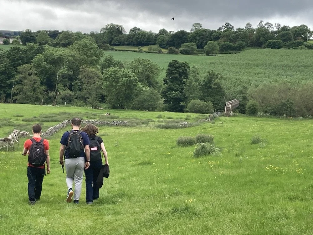
The Dalemain Loop is a low-level circular walk following riverside paths, field paths, parkland, quiet lanes and village sections.
Although it is graded easy, paths can be muddy, uneven or slippery after rain. Wear comfortable walking shoes or boots and use the map or GPX route alongside local signs and rights of way.
-
There are places to eat and drink in Pooley Bridge, seasonal facilities at Dalemain, and a village pub in Dacre. Opening times vary, so check before setting off.
Parking is available in Pooley Bridge and at Dalemain when open. If starting from Dalemain, check current parking arrangements before travelling.
-
The full Dalemain Loop is not an all-ability route. It uses rural paths, field sections, gates, lanes and uneven surfaces, and may be muddy after wet weather.
Some shorter sections around Pooley Bridge or Dalemain may be easier for a gentler stroll, but check local access information before travelling.
-
The route passes through a working rural landscape with farmland, parkland and village sections.
Please follow the Countryside Code: keep to paths, leave gates as you find them, take litter home, keep dogs under close control and use a lead near livestock or where signs ask you to.
History and heritage along the way
Although close to Pooley Bridge and Ullswater, the Dalemain Loop has a character of its own. It opens up the gentler landscape north of the lake — riverside paths, historic meadows, estate parkland, old villages and traces of long settlement.
The route was developed as a loop from the Ullswater Way, giving walkers another way to explore the wider Ullswater landscape on foot. It links the lake with Dalemain, Dacre and the River Eamont — places shaped by farming, faith, estate life and local stories over many centuries.
There is much more to discover in the Heritage Knowledge Bank, including stories from Dalemain, Dacre, Stainton and Newbiggin.
Continue exploring
The Dalemain Loop links naturally with other walks and heritage routes around Pooley Bridge and the wider Ullswater Valley.