The Ullswater Way
A waymarked circular walk around Ullswater, linking lakeshore paths, woodland, fellside tracks, villages and some of the Lake District’s most memorable views.
DISTANCE
32 km / 20 miles
TIME / STAGES
1 day or 4 stages
DIFFICULTY
Challenging as a full route
ROUTE TYPE
Circular
Discover Ullswater on foot
The Ullswater Way is a 20-mile waymarked route around the whole of Ullswater, created to help people explore the valley on foot and by public transport.
The route links Aira Force, a spectacular 20m waterfall, a historic farm at Glencoyne, ancient tracks, hidden bays along the eastern shore and some of the Lake District’s most iconic views. It can be walked as a full circuit, or split into shorter sections using Ullswater ‘Steamers’ and local bus services.
A great way to explore the Ullswater Way is through the Ullswater Heritage Trail, which adds stories, artworks and installations around the lake. These reveal more about the valley’s people, landscape and past, and give you places to pause, look more closely and discover the stories behind the route.
The route at a glance
Four sections around the lake
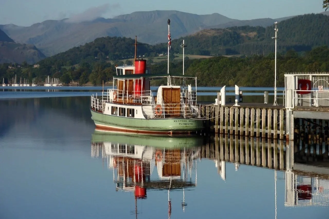
Pooley Bridge → Aira Force
Distance: 6.5 miles / 10.7 km
A varied opening section with open views, historic sites and woodland paths along the northern side of Ullswater. There is a choice of lower route or higher route over Gowbarrow.
Look out for: Maiden Castle, Watermillock Church, Aira Force and Gowbarrow
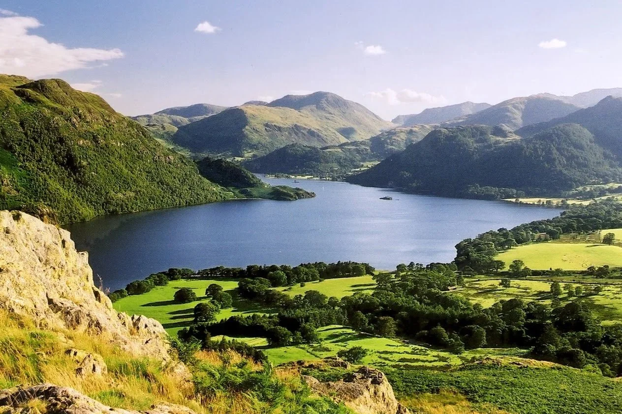
Aira Force → Glenridding
Distance: 3 miles / 4.6 km
A shorter lakeside section linking waterfalls, Glencoyne’s ancient woodland, Glencoyne Bay and scenic shoreline paths beneath the fells.
Look out for: Aira Force, Glencoyne, Wordsworth’s daffodils and views towards Glenridding.
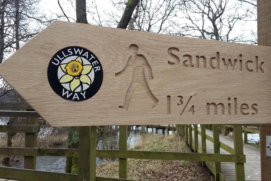
Glenridding → Howtown
Distance: 6.5 miles / 10.5 km
A wilder and more remote stretch beneath Place Fell, with dramatic views across the lake and a strong sense of leaving the busier valley behind.
Highlights: Silver Point, Sandwick, Martindale and the open views from the eastern shore.
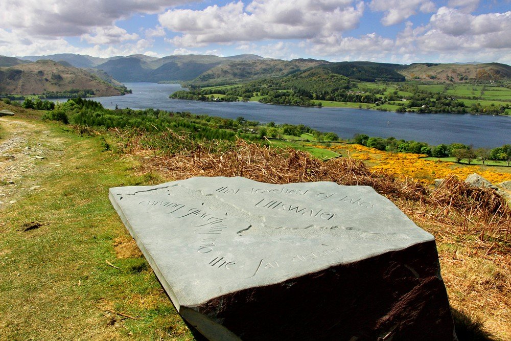
Howtown → Pooley Bridge
Distance: 5 miles / 8 km
A flexible final section, with lower lakeshore paths, fellside tracks or a higher route across Askham Fell for wider views back over Ullswater.
Highlights: Hallin Fell, Askham Fell, Pooley Bridge and Cockpit Stone Circle
Photography credits: Jane Firth, Janet Wedgewood, Anne Clarke, Dylan Jackman
Explore the Ullswater Heritage Trail
The Ullswater Heritage Trail was created by Friends of the Ullswater Way to add stories, installations and viewpoints around the lake. It is a great way to explore the Ullswater Way in shorter sections, with places to pause and discover more about the valley’s history, people and landscape.

Route maps and downloads

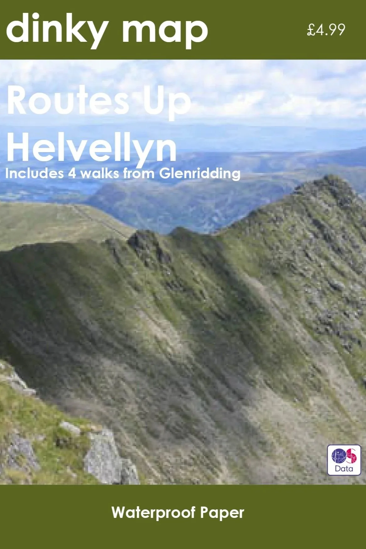
Buy guidebooks
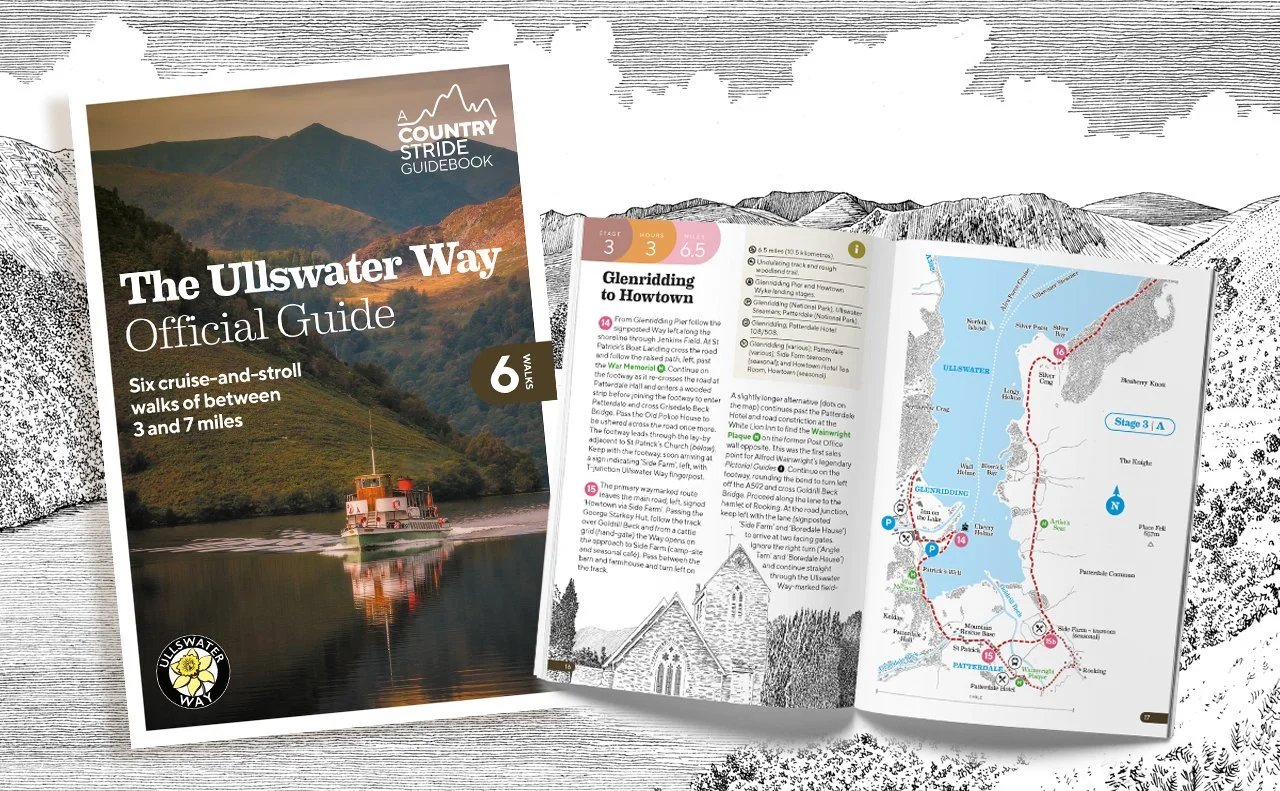
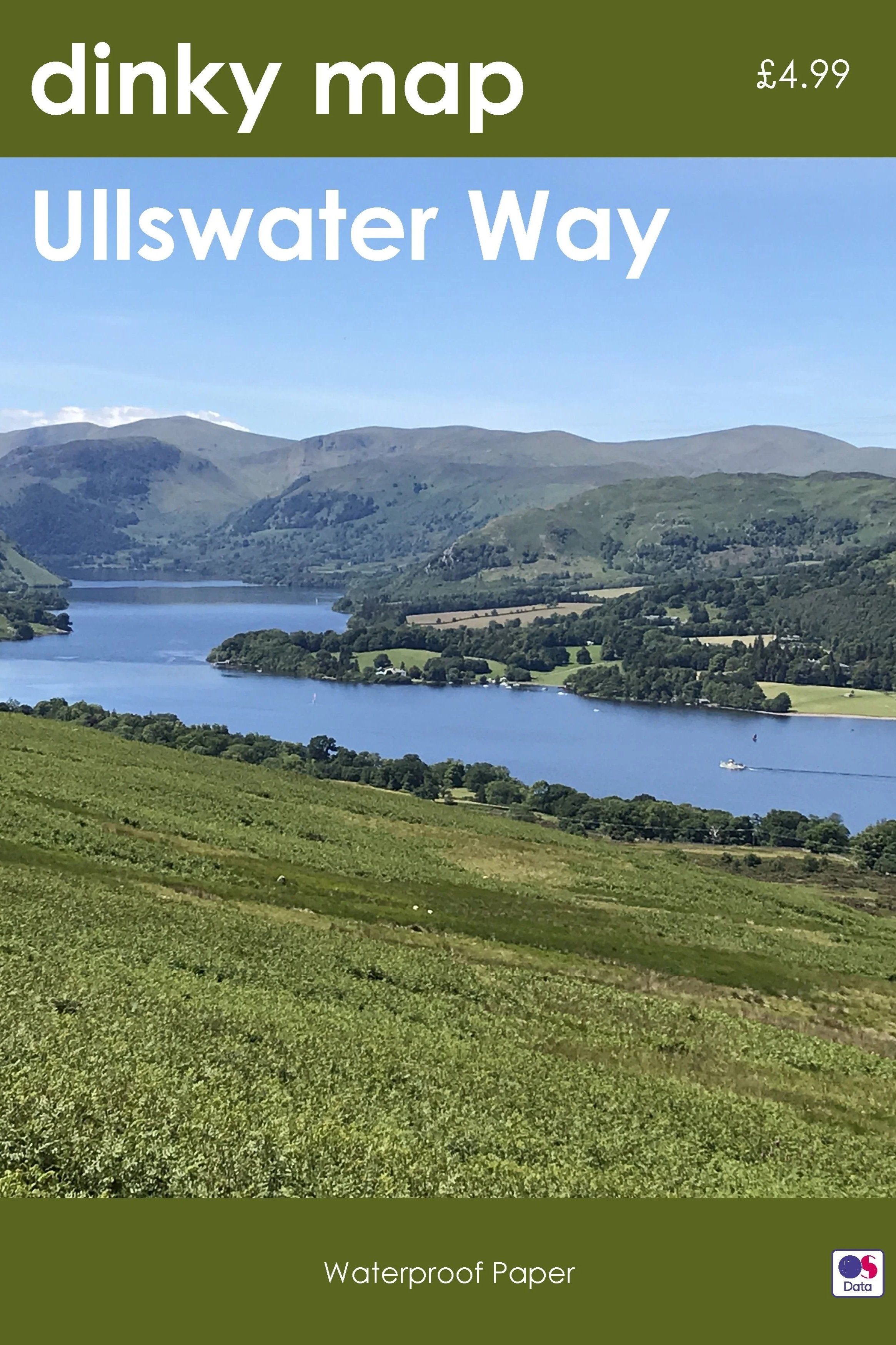
The Ullswater Way Official Guide by Mark Richards is especially useful if you want to explore the route in shorter sections. It includes six cruise-and-stroll walks of 3 to 7 miles, designed to combine walking with Ullswater ‘Steamers’, alongside maps, viewpoints, heritage highlights and practical information. You can buy the guidebooks from local shops (Catstycam and Verey Books) and information centres.
Click a guide below to go directly to the relevant order page.
Plan your walk
Use this section to check travel options, terrain, facilities, accessibility and countryside care before setting out. Always check current maps, timetables and weather, especially outside the main visitor season.
-
Ullswater Steamers operate between Pooley Bridge, Howtown, and Glenridding, allowing walkers to combine a lake cruise with a section of the route.
Stagecoach 508 provides the main public transport link through the valley, connecting Penrith, Pooley Bridge, Aira Force, Glenridding and Patterdale. Penrith railway station offers onward connections to the national rail network.
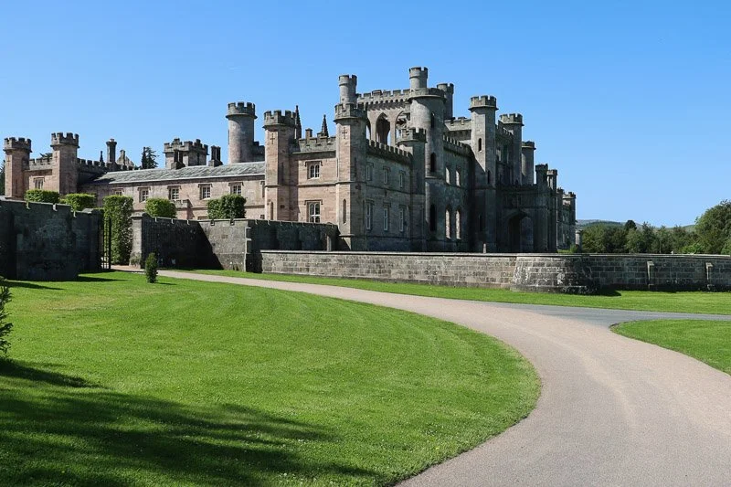
The Ullswater Bus (UB1, UB2 and 509), supported by SITU and operated by Stagecoach, provides additional seasonal services linking accommodation, Ullswater Steamer piers, Howtown, Lowther Castle, Aira Force, Pooley Bridge, Glenridding and Keswick. These services make it even easier to explore different parts of the Ullswater Valley without using a car.
Useful links:
Check current timetables before setting out, particularly outside the main visitor season.
-
The Ullswater Way follows a mixture of public rights of way, quiet roads, fell paths, woodland tracks and field paths.
The route is mostly low-level, but surfaces vary and some sections can be muddy, uneven or slippery after wet weather. There is also a short section at Stybarrow Crag where the route follows the side of the A592 for around 200 metres. Please take extra care here.
Use the route maps, GPX files and guidebook to help plan your walk, and choose a section that suits your experience, fitness and the conditions on the day.
-
The route passes through or near several villages including Pooley Bridge, Glenridding and Patterdale.
Places to eat and drink can be found along parts of the route, although facilities are more limited on some of the quieter stretches.
Parking is available at several points around the lake including Pooley Bridge, Aira Force and Glenridding.
-
Most of the route uses gates, but there is one stone step stile on the lower route between Howtown and Pooley Bridge. This can be avoided by taking the higher route via Askham Fell.
Some sections may be suitable for those looking for easier access, including:
Pooley Bridge to Gale Bay
Aira Force to Glencoyne
Roehead to Askham Fell (subject to individual assessment)
-
Ullswater is a living, working landscape.
Please follow the Countryside Code: keep to paths, leave gates as you find them, take litter home, keep dogs under close control and use a lead near livestock or where signs ask you to.
Check the weather, route and transport before setting off, and choose a walk that suits your experience and conditions on the day.
History of the Ullswater Way
Creating the Ullswater Way
Dylan Jackman, Former Lake District National Park Ranger, tells the story of how the Ullswater Way came to be.
-
For some time the idea of a circular walk around Ullswater had been discussed by businesses, residents and organisations such as the National Trust and Lake District National Park. In 2014, this was formally identified as an action in the Ullswater Valley plan.
Some thought that any route around the lake would predominantly follow the lake shore. However, the challenges of negotiating access would be impossible to achieve, and in my opinion would not have been the best way of showcasing the beauty of the Ullswater Valley. Instead, it was proposed that the route would utilise the extensive public rights of way network already in existence.
Connecting shoreline paths, woodland trails, farmland and popular lakeside villages, would allow visitors to explore places and features away from the lake and offer up opportunities to enjoy the spectacular landscape from different angles.
In 2015 I remember highlighting a circular route around Ullswater, that used the footpaths and bridleways, but I couldn’t connect the route from Waterfoot to Bennethead. Whilst there were permissive routes, there was no legal right to be able to walk between the two.
Fortunately, both the landowners, Lake District Estates and the Lightburn family, were amazingly supportive and allowed the creation of 1.5 miles of new public footpath, which completed the 20 mile Ullswater Way.
It was also important that as many people as possible could enjoy and complete the walk, not just elite walkers. So the route was designed in smaller sections that could be combined with a boat trip or open-topped bus ride. Whilst the Ullswater Way has always been a challenging walk through the countryside, low level options at Gowbarrow and Barton Fell were identified as alternatives. The alternative routes also provide different views to enjoy and locations to explore, which it is hoped will encourage visitors to complete the Ullswater Way more than once.
Once the route was finalised, funding allowed for gates to be renewed, marketing and branding produced, and despite Storm Desmond, the Ullswater Way was officially launched in April 2016.
Since its launch, The Ullswater Way has been a phenomenal success, with tens of thousands of people walking the route. It has been embraced by so many residents, businesses, landowners and visitors to Ullswater. Its success has led to the creation of The Ullswater Heritage Trail, as well additional loops to Dalemain and Lowther Castle.
“I feel immensely proud to have played my part in creating such an iconic walking route, and I hope that going forward that the Ullswater Way can be maintained, protected and cared for so that future generations can continue to enjoy England’s most beautiful lake.”
Launch of the Ullswater Way
Suzy Hankin, Area Ranger for the Lake District National Park, and Jim Walker of Ullswater Steamers, speak at the time when the Ullswater Way was launched in 2016.
It was less than a year after the havoc wreaked by Storm Desmond.
Continue exploring
Enjoyed the Ullswater Way? Continue your visit with a literary walk over to Grasmere, a riverside route from Penrith to Pooley Bridge, or one of the shorter loops through Dalemain and Lowther.