
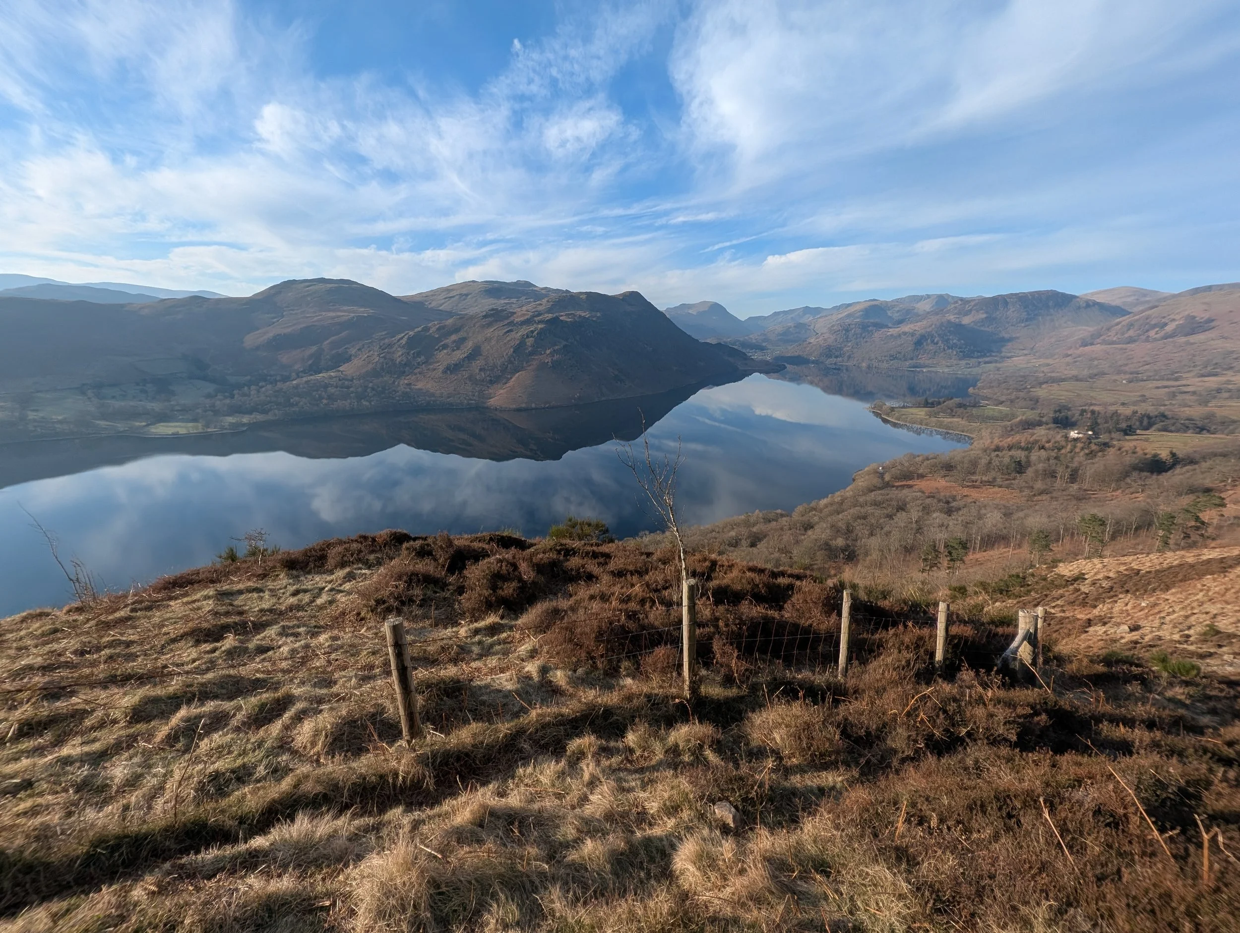
Explore Ullswater on foot
Discover walks around Ullswater — from the 20-mile Ullswater Way to shorter loops, heritage walks and car-free days out.
Use this page to choose a route, download maps and GPX files, view aerial tours, and connect your walk with the stories, places and projects that make Ullswater special.
Choose your route
Looking for a full circuit, a point-to-point walk, a gentle loop or a route with more history along the way? Start here. Each walk page includes route notes, maps, GPX downloads, practical planning information and things to look out for.
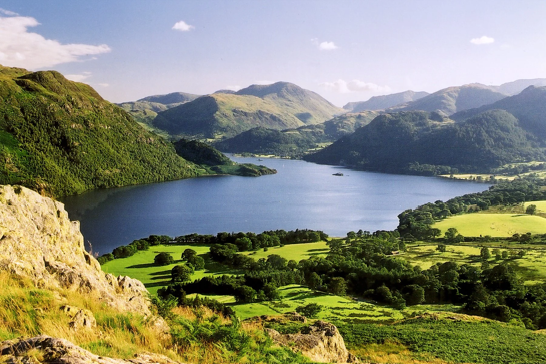
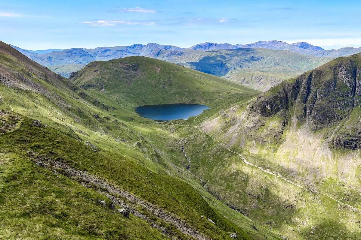
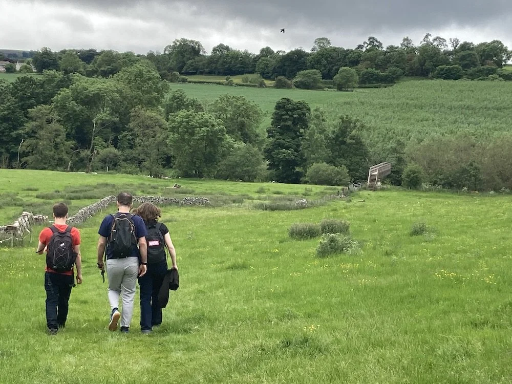
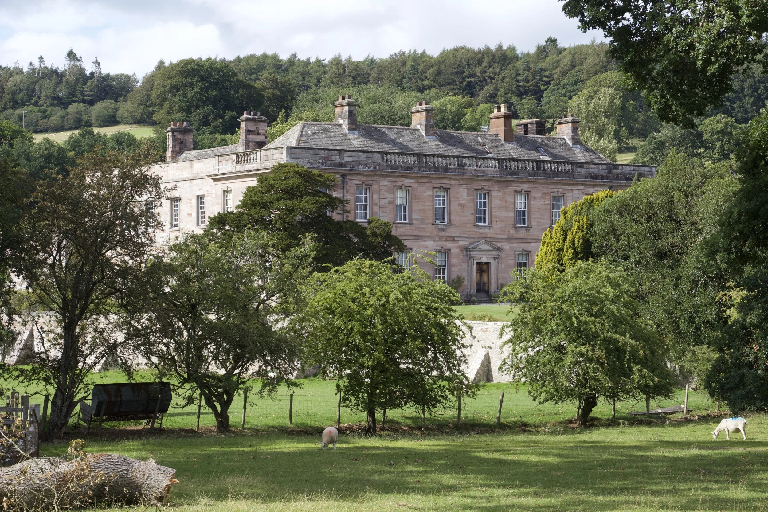
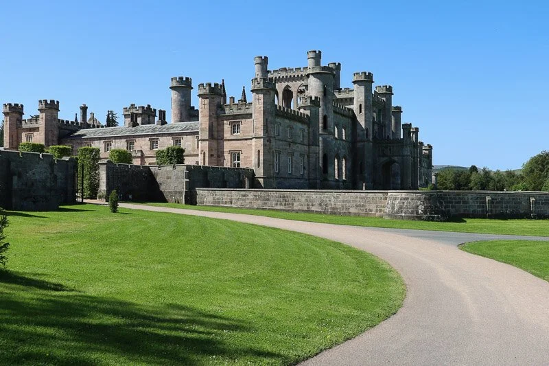
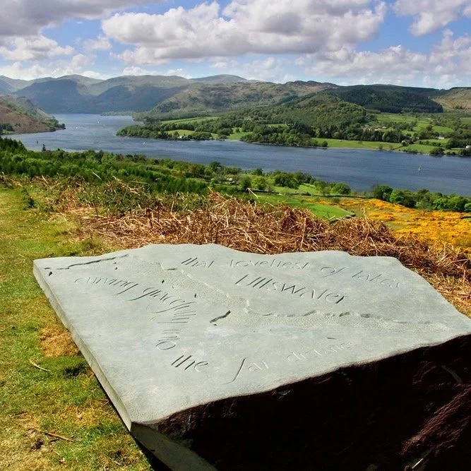
Not sure where to start?
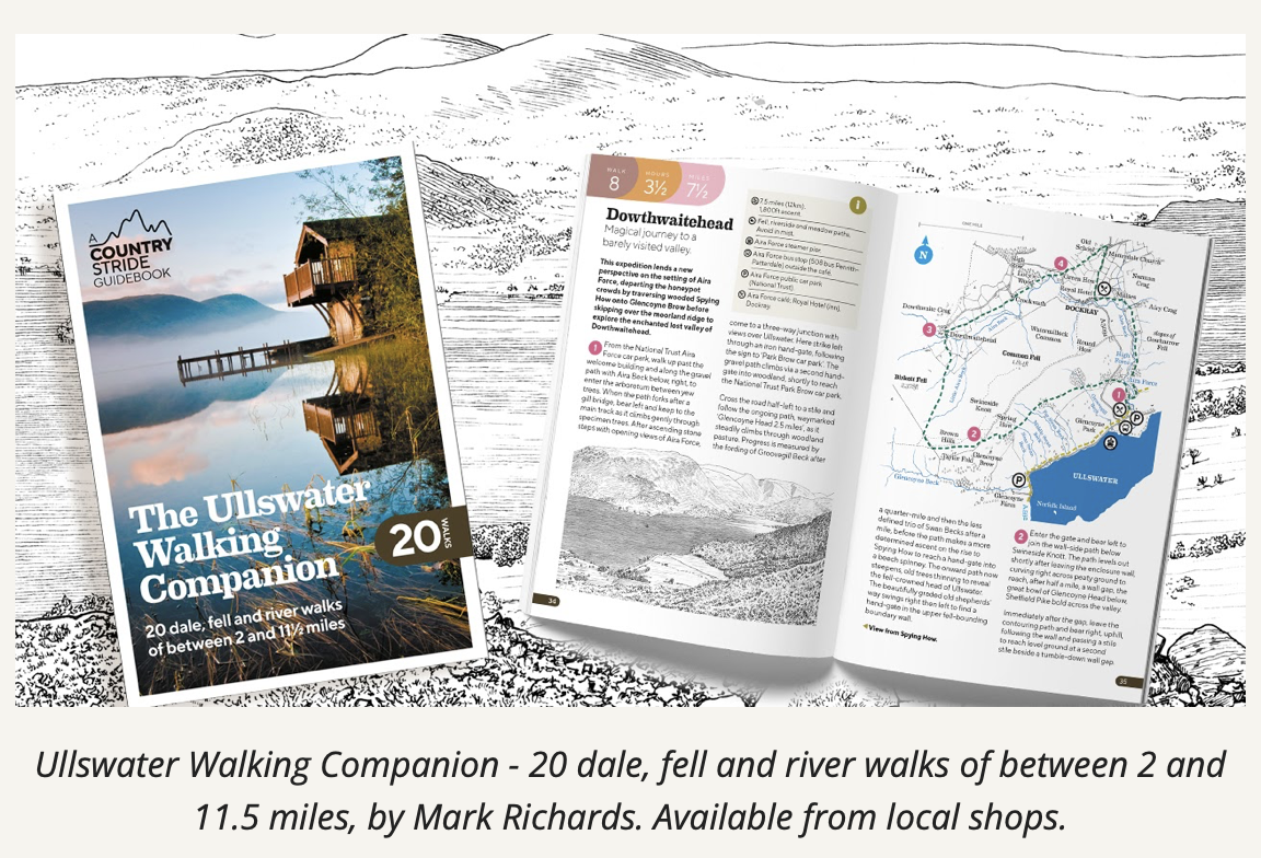
The Ullswater Walking Companion offers 20 dale, fell and river walks of between 2 and 11.5 miles — from shorter outings to longer days exploring the valley.
It is a good choice if you want more options than the main routes listed above, especially if you are looking for walks that can be planned around local buses, Ullswater ‘Steamers’ and village starting points.
Aerial Tours: see Ullswater from above
Take an aerial tour of the iconic Ullswater Valley. Read the landscape from on high and imagine how its peaks and valleys have been sculpted by ice and water. Imagine the lives of those who have lived and worked here throughout its long history - its farmers, fisherfolk and miners. Wonder at its mosaic of habitats and be inspired by its beauty.
Start your tour from one of four locations: Glenridding, Aira Force, Howtown (Hallin Fell), or Pooley Bridge. Explore the 360-degree views.
Click on the icons to discover sites of interest around the valley, identify the main peaks, and open doors to the Heritage Knowledge Bank. You can also use the menu at the bottom of the screen.
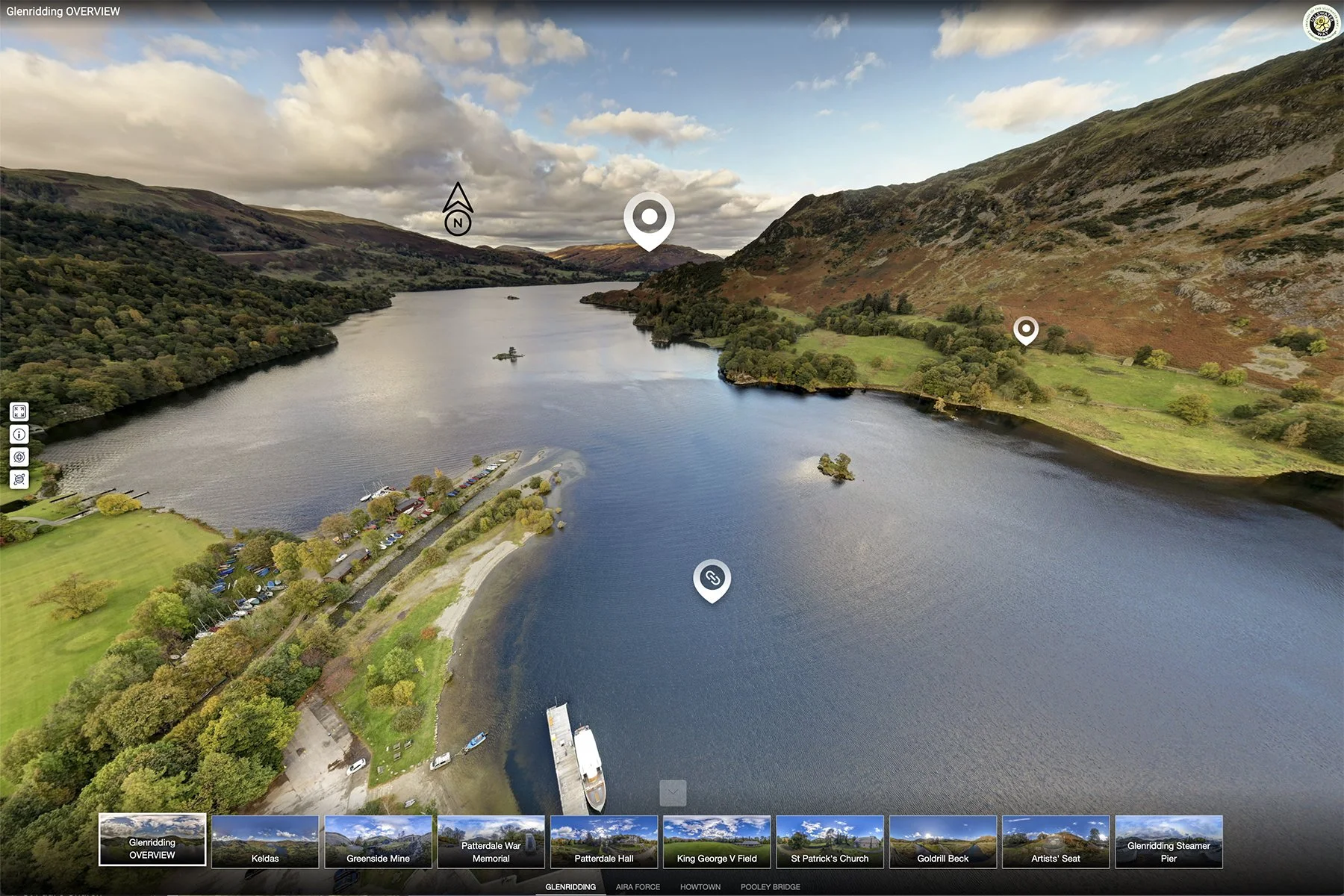
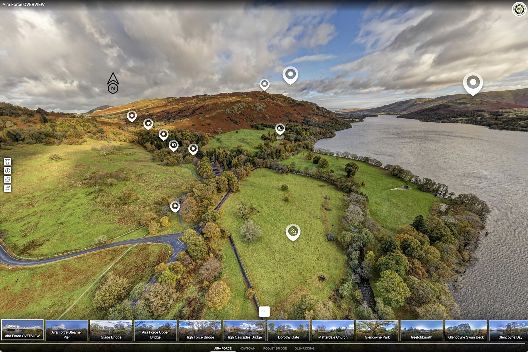
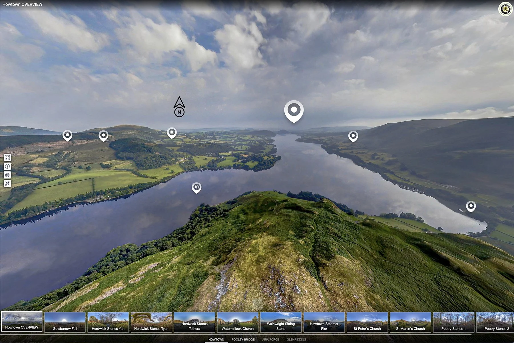
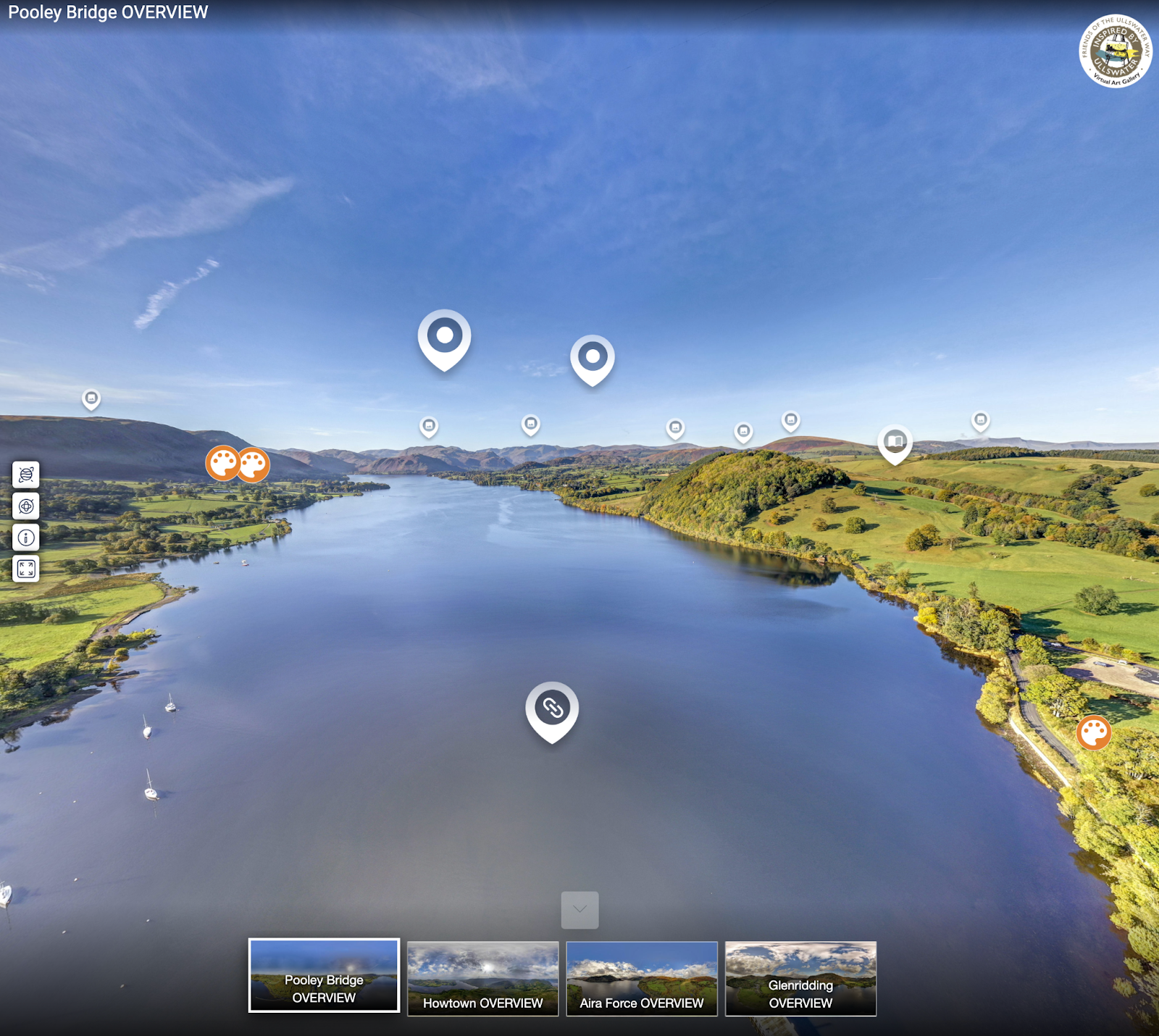
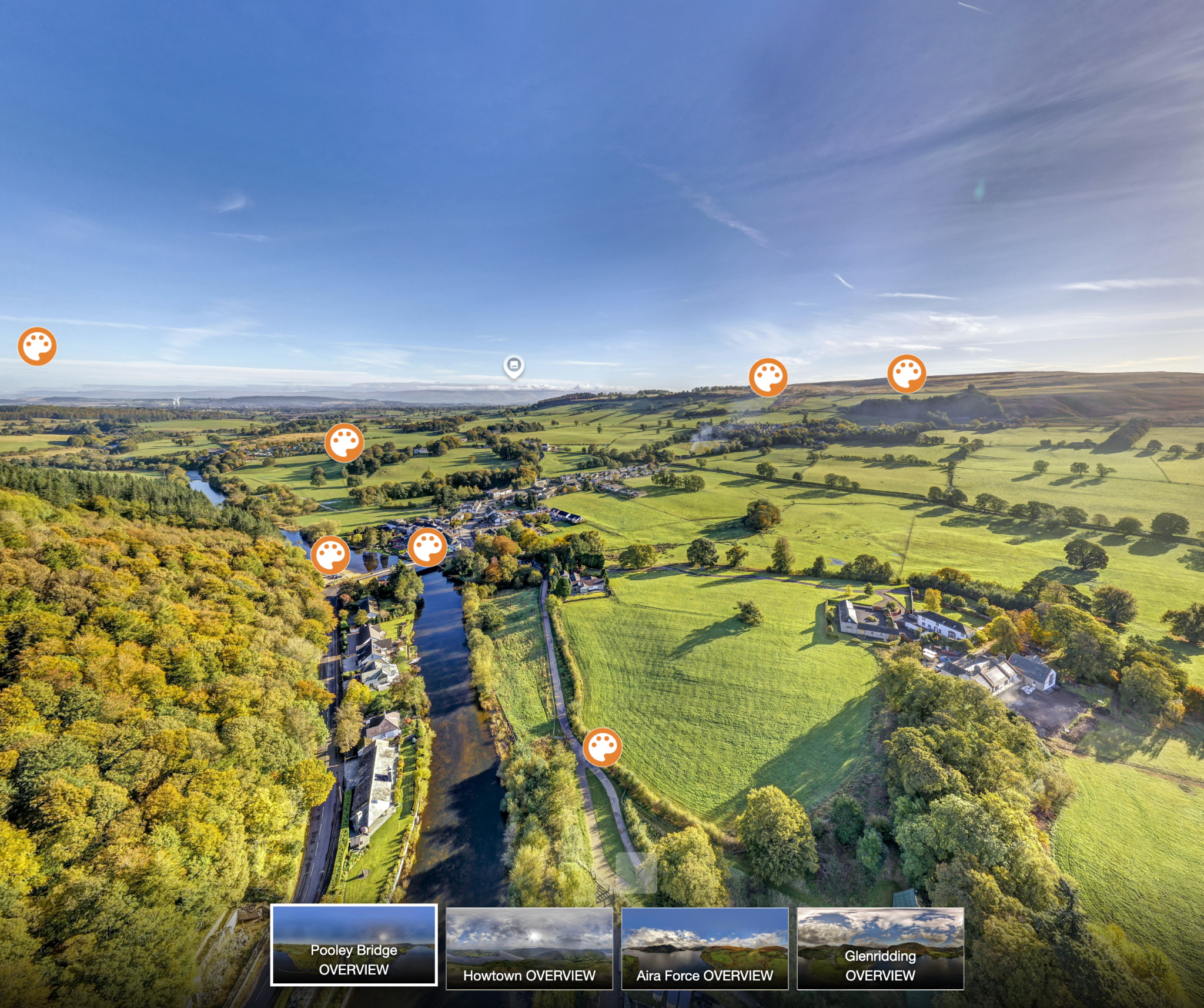
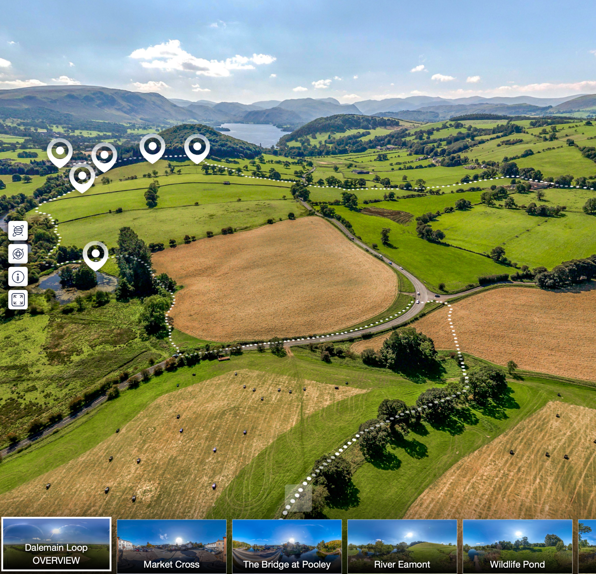
With thanks to Colin Aldred of Aerial Artwork who created the Aerial Tours, and to the Nineveh Charitable Trust, the National Trust and Ullswater Steamers for their generous support.
Go deeper into Ullswater’s stories
Many of these walks pass through places with rich histories, local memories, artworks, habitats and changing landscapes. Explore the Heritage Knowledge Bank, Virtual Art Gallery and Understanding Ullswater talks to discover more about the people, places and stories behind the routes.
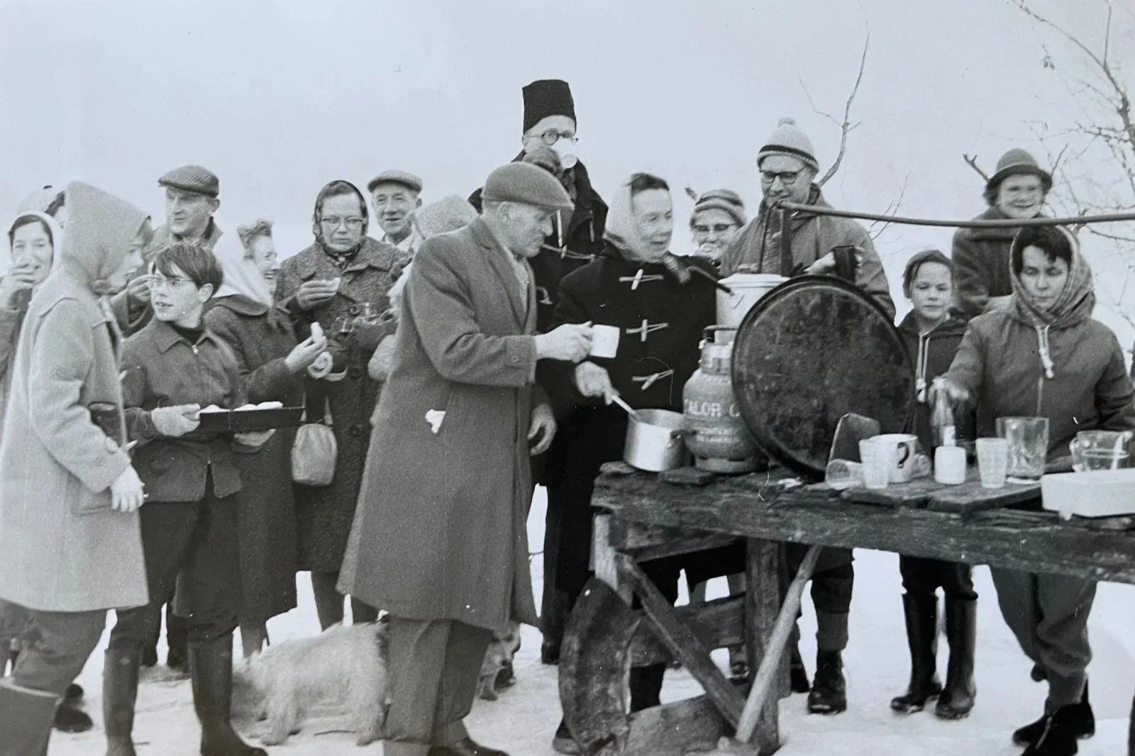
Heritage Knowledge Bank
Stories, memories, places and local history from around the Ullswater Valley.
Virtual Art Gallery
Explore Ullswater through paintings, artists, viewpoints and changing landscapes.
Understanding Ullswater Talks
Watch talks on the heritage, nature, people and future of Ullswater.
Route maps and GPX downloads
Download route maps and GPX files to help plan your walk. You can also view all the routes together on Google Maps to see how the walks connect across the valley.
GPX files are useful for planning and navigation, but they should not be your only source of route information. Please check current maps, weather and transport before setting out.
Download route maps
Download overview maps to help plan your walk around Ullswater. Key maps include the Ullswater Way and linked routes, the Ullswater Way North and South sections, the Ullswater Heritage Trail, and the Eamont Way.


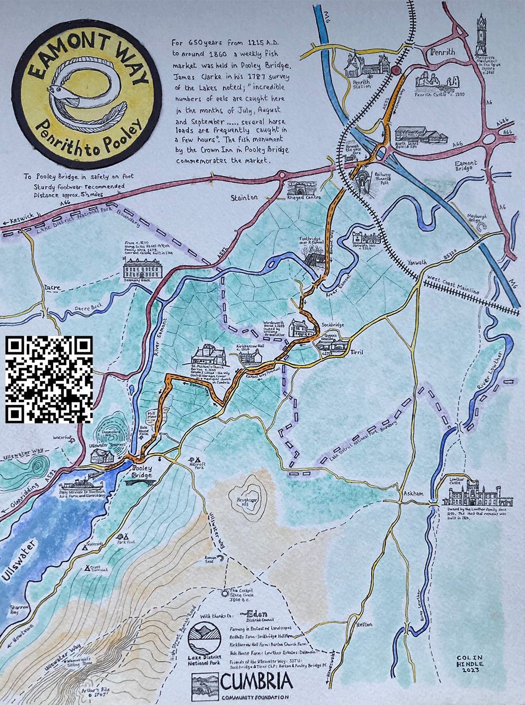
Download GPX files
Download GPX files for the main routes and individual Wordsworth Way walks.

The Ullswater Way
Lowther Castle Loop
Dalemain Loop

The Eamont Way

The Wordsworth Way Walk 1: Early Life, Exploration and Natural Education
The Wordsworth Way Walk 2: Home at Grasmere
The Wordsworth Way Walk 3: Family Connections
The Wordsworth Way Walk 4: Later life, friends and acquaintances