
The Eamont Way
Walk from train to lake, following the River Eamont from Penrith to Pooley Bridge.
Approaching Sockbridge © Cecilia McCabe
DISTANCE
8.9 km / 5.5 miles
TIME
2.5 – 3 hours
DIFFICULTY
Easy to Moderate
ROUTE TYPE
Linear
Follow the river to Ullswater
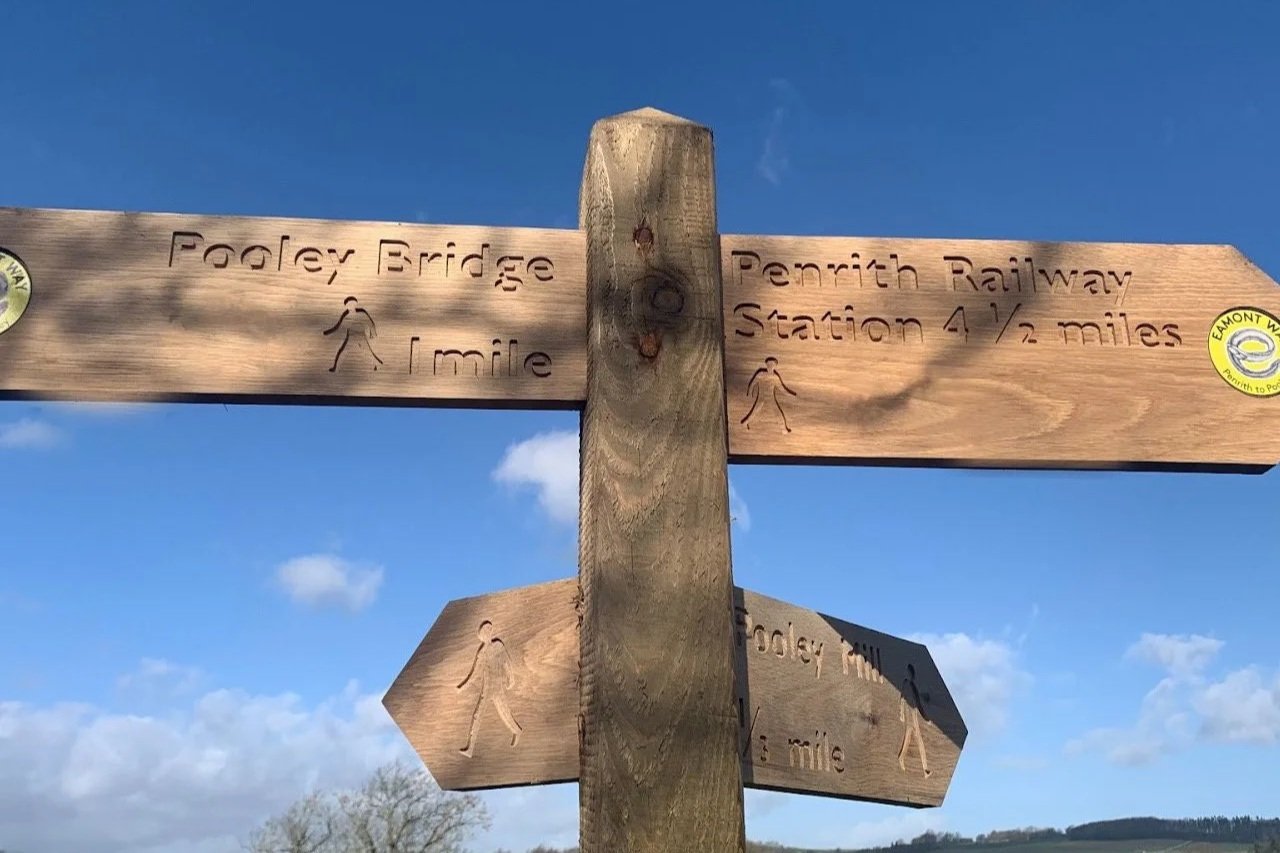
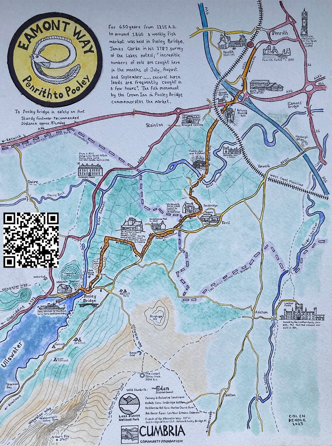
The Eamont Way is a signed 5.5-mile walking route from Penrith Railway Station to Pooley Bridge, offering a car-free way to reach Ullswater.
The route follows the River Eamont valley, crossing the river twice before arriving in Pooley Bridge. From there, it is less than half a mile to the Ullswater ‘Steamers’ pier, where you can continue your journey by boat to Howtown, Glenridding and Aira Force, or link with the Ullswater Way.
For centuries, the Eamont has also been a river of crossings and boundaries. Around Eamont Bridge, it marked the old county boundary between Cumberland and Westmorland, while nearby prehistoric monuments such as Mayburgh Henge and King Arthur’s Round Table point to a much older landscape of movement, meeting and ceremony.
Today, the Eamont Way follows the quieter, living part of that story — linking railway, river, countryside, village and lake.
The route at a glance
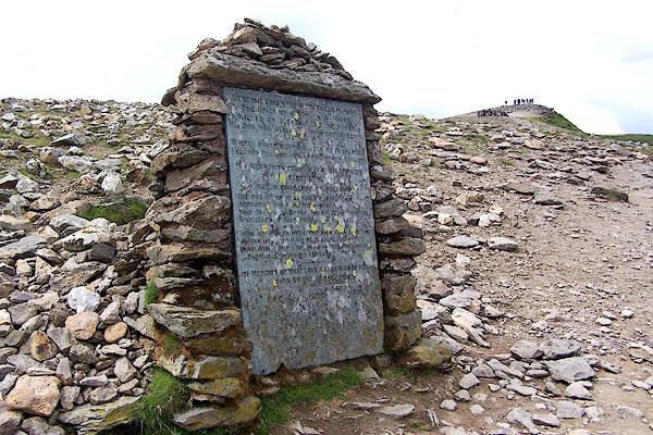
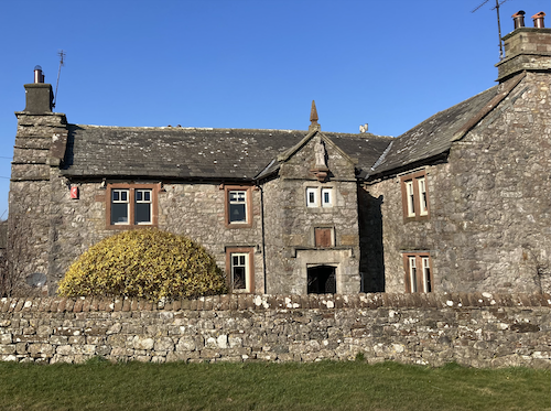
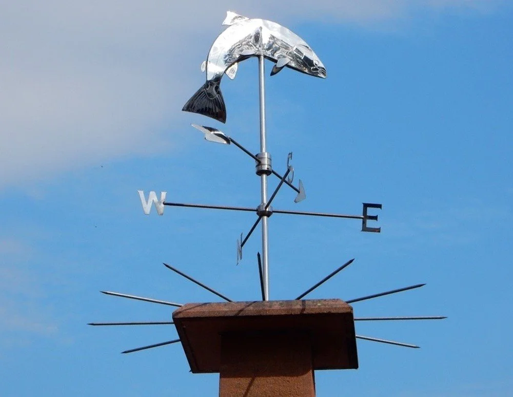
From station to lake: what to look out for along the Eamont Way
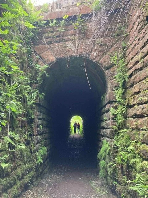
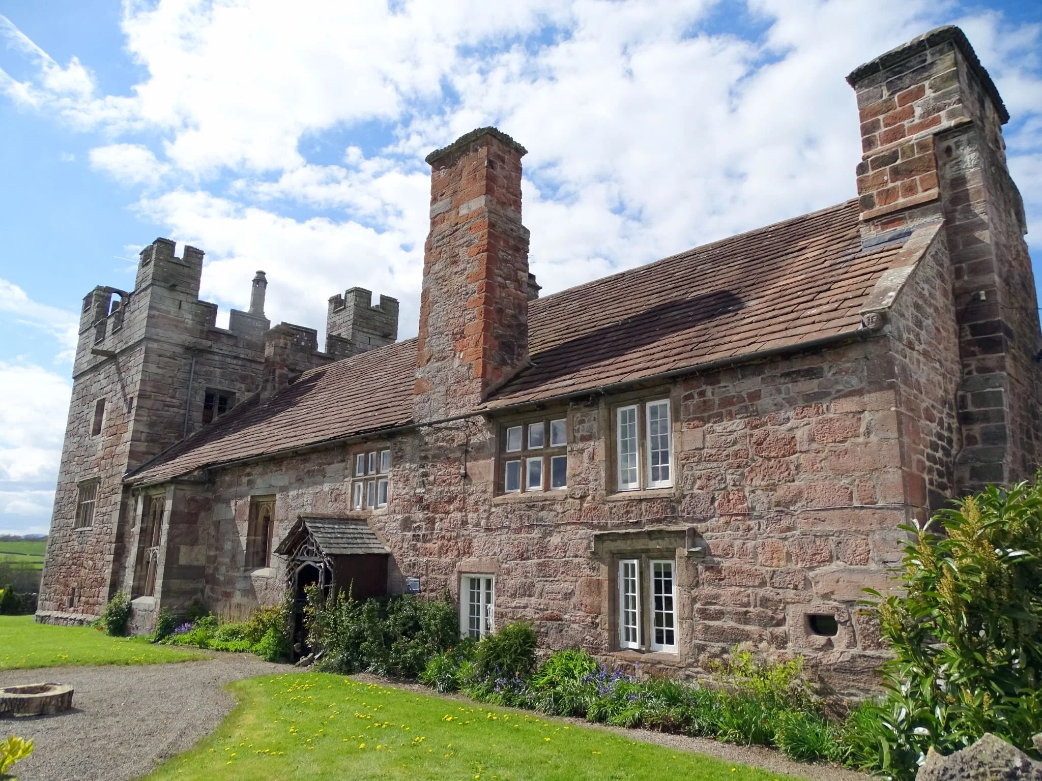
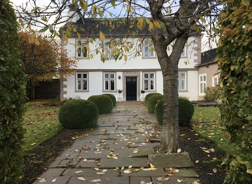
Click on the images to read more about the sites



Route maps and downloads
The Eamont Way is clearly signed, but we recommend downloading the route map or GPX file before you set off.
Explore the route from above
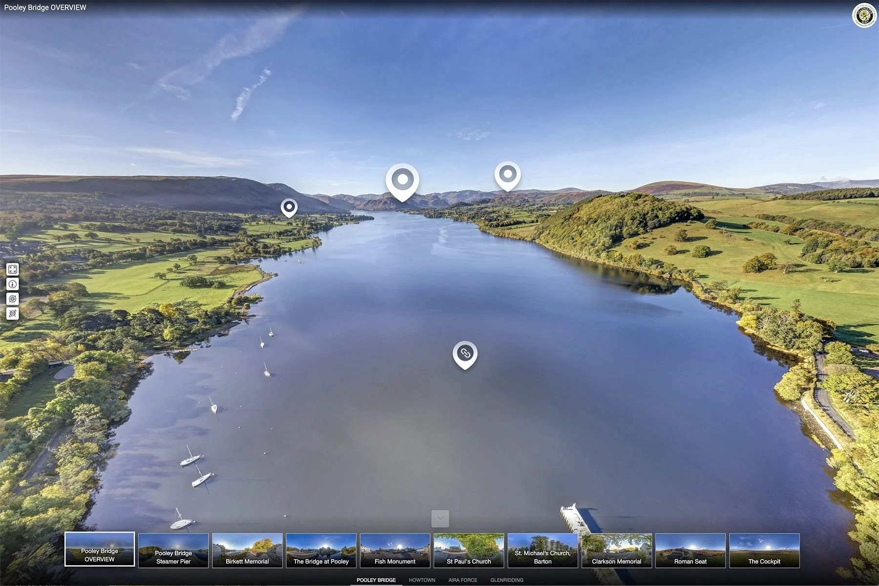
Explore Pooley Bridge from above and see where the Eamont Way begins at the northern end of Ullswater. The aerial tour shows the village’s setting beside the River Eamont, the northern end of Ullswater, Pooley Bridge crossing the River Eamont and the Ullswater ‘Steamers’ pier — all key connections for walkers continuing their journey from here.
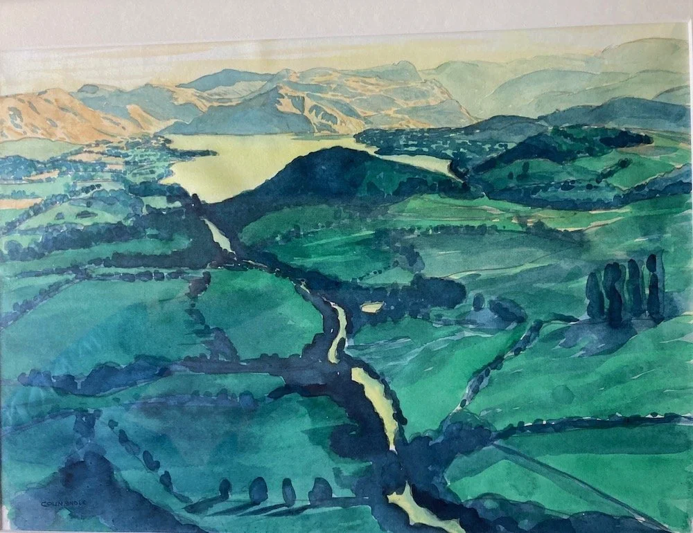
Colin’s view from a hot air balloon
A different aerial perspective on the Eamont Way landscape, showing how river, village, countryside and lake are closely connected.
Plan your walk
Use this section to check travel options, terrain, facilities, accessibility and countryside care before setting out. Always check current maps, timetables and weather, especially outside the main visitor season.
-
The Eamont Way starts at Penrith Railway Station and finishes at Pooley Bridge, making it a practical active travel route into Ullswater.
From Pooley Bridge, it is less than half a mile to the Ullswater ‘Steamers’ pier, with onward travel by boat to Howtown, Glenridding and Aira Force. You can also continue by local bus, SITU Hopper services, or on foot via the Ullswater Way.
Useful links:
Check current timetables before setting out, particularly outside the main visitor season.
-
The route follows a mixture of signed pedestrian crossings, footpaths, bridleways and permitted paths. It is generally lower-level and less demanding than the fell sections of the Ullswater Way or Wordsworth Way, but it still crosses open countryside.
Conditions can be muddy and wet underfoot after prolonged heavy rain, so suitable footwear is recommended. Please follow the signed route and avoid straying into nearby farms.
-
There are facilities at both Penrith and Pooley Bridge. Penrith has shops, cafés and railway station facilities close to the start of the route, while Pooley Bridge has pubs, cafés, shops, public toilets and onward transport connections.
Refreshment options along or near the route include Penrith town centre, cafés near the station, Cranston’s Café near the Ullswater Road roundabout, The Queen’s Head at Tirril as a short detour, Kirkbarrow Hall, and a wider choice of places to eat and drink in Pooley Bridge.
The route is designed to work well without a car. If you do need to park, use appropriate public parking in Penrith or Pooley Bridge.
-
The Eamont Way is a countryside walking route and is not generally suitable for wheelchairs or standard pushchairs.
Some sections include field paths, gates, uneven ground, permitted paths, muddy surfaces and narrow sections. Conditions may be more difficult after wet weather.
-
Dogs are welcome, but should be kept on a lead around livestock, farmland and wildlife.
Please follow the Countryside Code: stay on the signed route, close gates behind you, leave property as you find it, take litter home, and bag and bin dog waste.
History of the Eamont Way
The walking gateway to Ullswater
The Eamont Way was created to provide a signed walking link between Penrith and Ullswater, helping people reach the valley without relying on a car.
It was designed and promoted by volunteers from Friends of the Ullswater Way and SITU — Sustainable and Integrated Transport for Ullswater — with support from local councils, landowners, community groups, businesses and funders.
Since it opened in April 2023, the route has become part of Ullswater’s wider sustainable transport network. It is one of the valley’s great examples of how rail, walking, buses and Ullswater Steamers can work together to make car-free visits easier and more enjoyable. SITU reports an average of around 500 walkers per month using the route.
Why an eel?
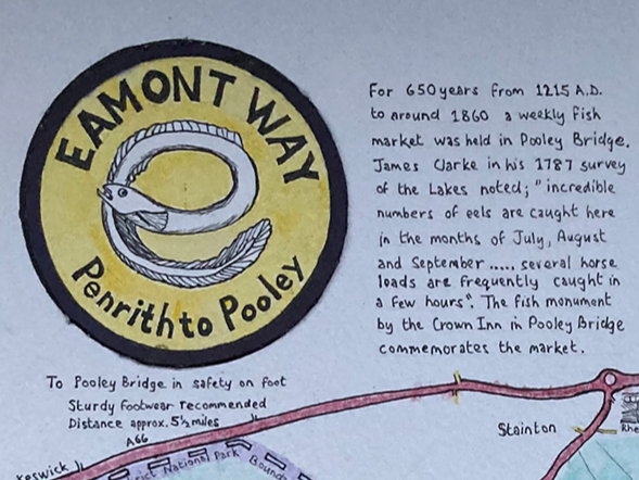
The eel in the Eamont Way logo is a nod to Pooley Bridge’s long history as a place of fishing and trade. For 650 years from 1215 AD to around 1860, a weekly fish market was held in Pooley Bridge, and eels were once caught there in large numbers during the summer months.
“incredible numbers of eels are caught here in the months of July, August and September….. several horse loads are frequently caught in a few hours. ”
Continue exploring
Arrived at Ullswater? Keep following the connections.
From Pooley Bridge, continue around the lake on the Ullswater Way, explore the Ullswater Heritage Trail, take an Ullswater ‘Steamer’ to Howtown or Glenridding, or try nearby linked routes such as the Dalemain Loop and Lowther Castle Loop.


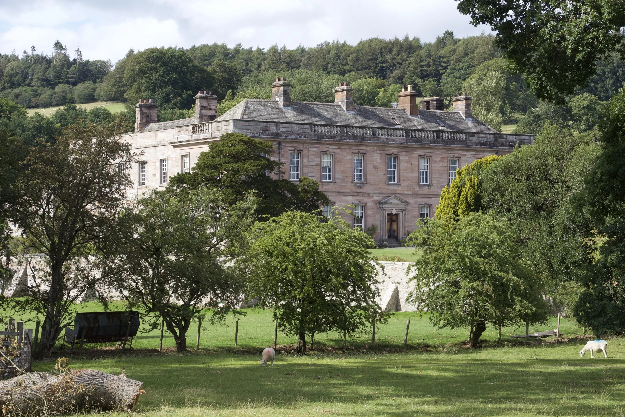

Thanks to our collaborators and supporters
The Eamont Way was made possible through the help and support of many local people and organisations, including:
Lake District National Park Authority; Eden District Council; Cumbria County Council; Cumbria Community Foundation; the Lake District National Park; the Ullswater Association; Ullswater ‘Steamers’; Barton and Pooley Bridge Parish Council; Sockbridge and Tirril Parish Council; Barton Church Farm; Sockbridge Hall Farm; Redhills Farm; Kirkbarrow Hall; Hole House Farm; Gina Farncombe for the logo design; Anthony Leeming; and many local people and visitors.