Lowther Castle Loop
Castle parkland, riverside paths and open views from Askham Fell
DISTANCE
12 km / 7.5 miles (from Lowther)
TIME
3.5 - 4.5 hours
DIFFICULTY
Moderate
ROUTE TYPE
Circular
Beyond the castle walls to open fells
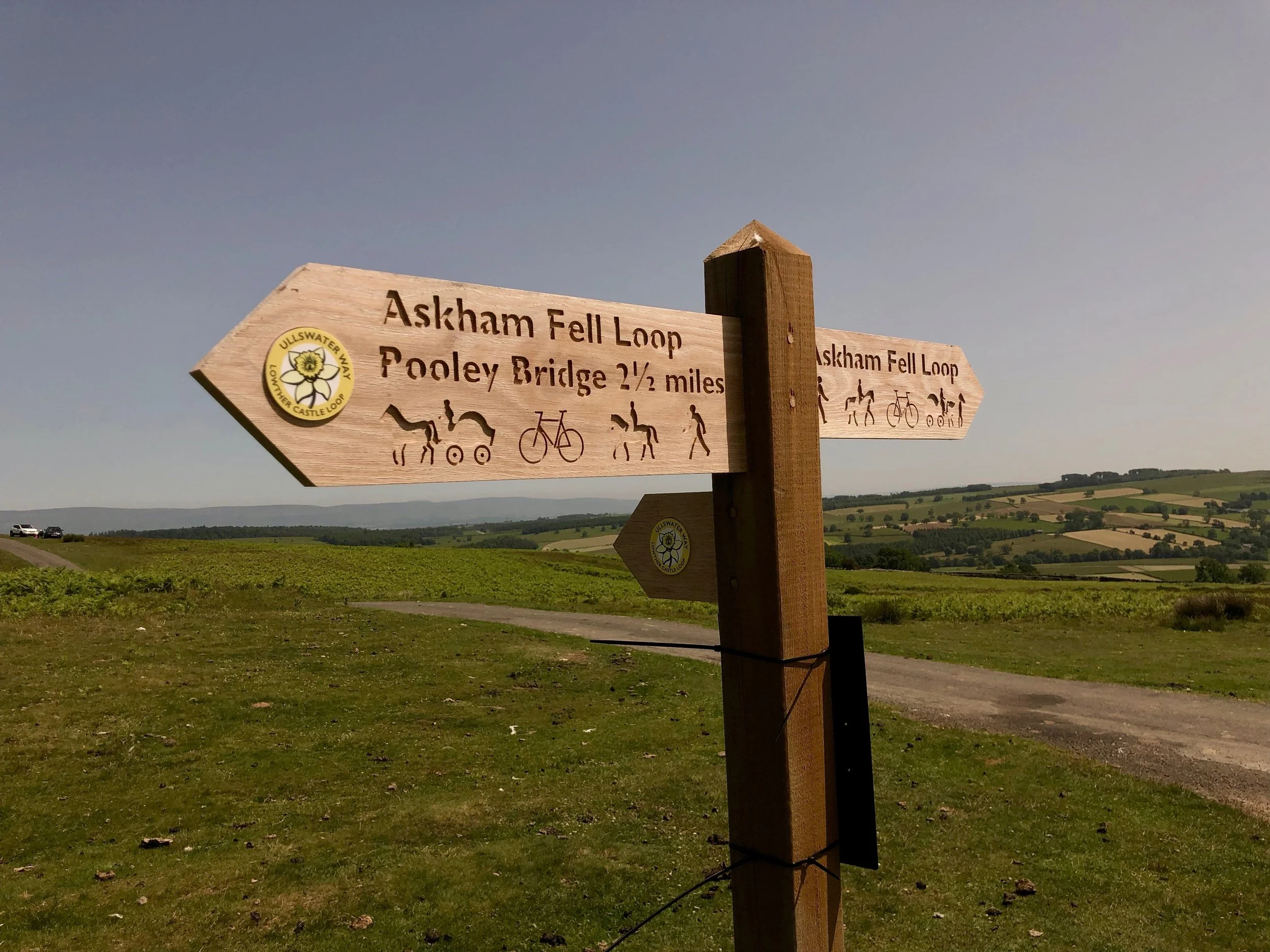
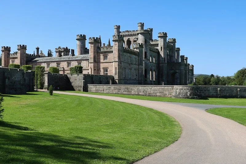
The Lowther Castle Loop is a 12 km / 7.5 mile circular walk from Lowther Castle through estate parkland, riverside paths, meadows, village lanes and the open ground of Askham Fell.
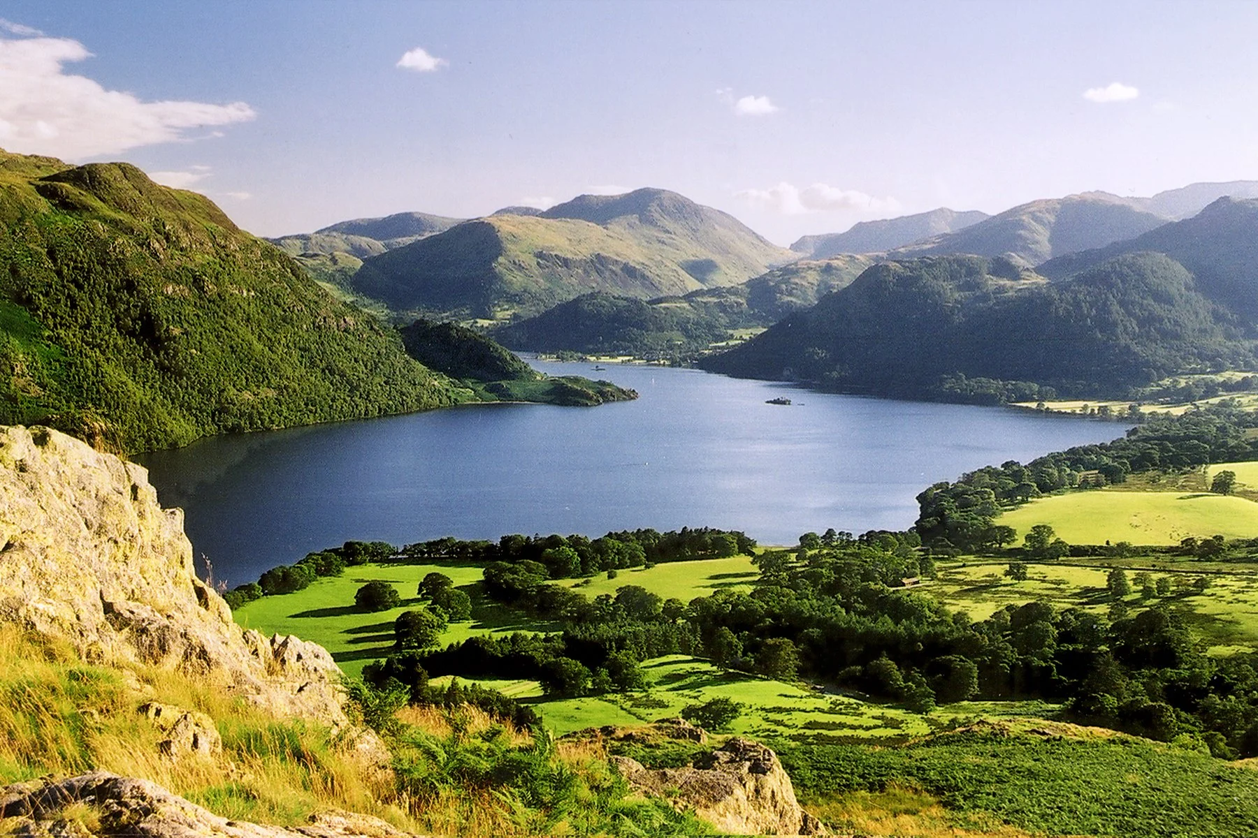
Starting and finishing at Lowther Castle, the route drops towards the River Lowther before continuing through quieter countryside towards Helton and Askham. It then climbs onto Askham Fell, where wide views open towards Ullswater and the Helvellyn range.
The walk can also be joined from Pooley Bridge as a longer day out, linking the Ullswater Way, the Eamont Way and the Lowther Castle Loop. This makes it a good choice for walkers who want to move beyond the lakeshore and explore the wider historic landscape north-east of Ullswater.
The route at a glance
Castle, river, village and open fell
Lowther Castle
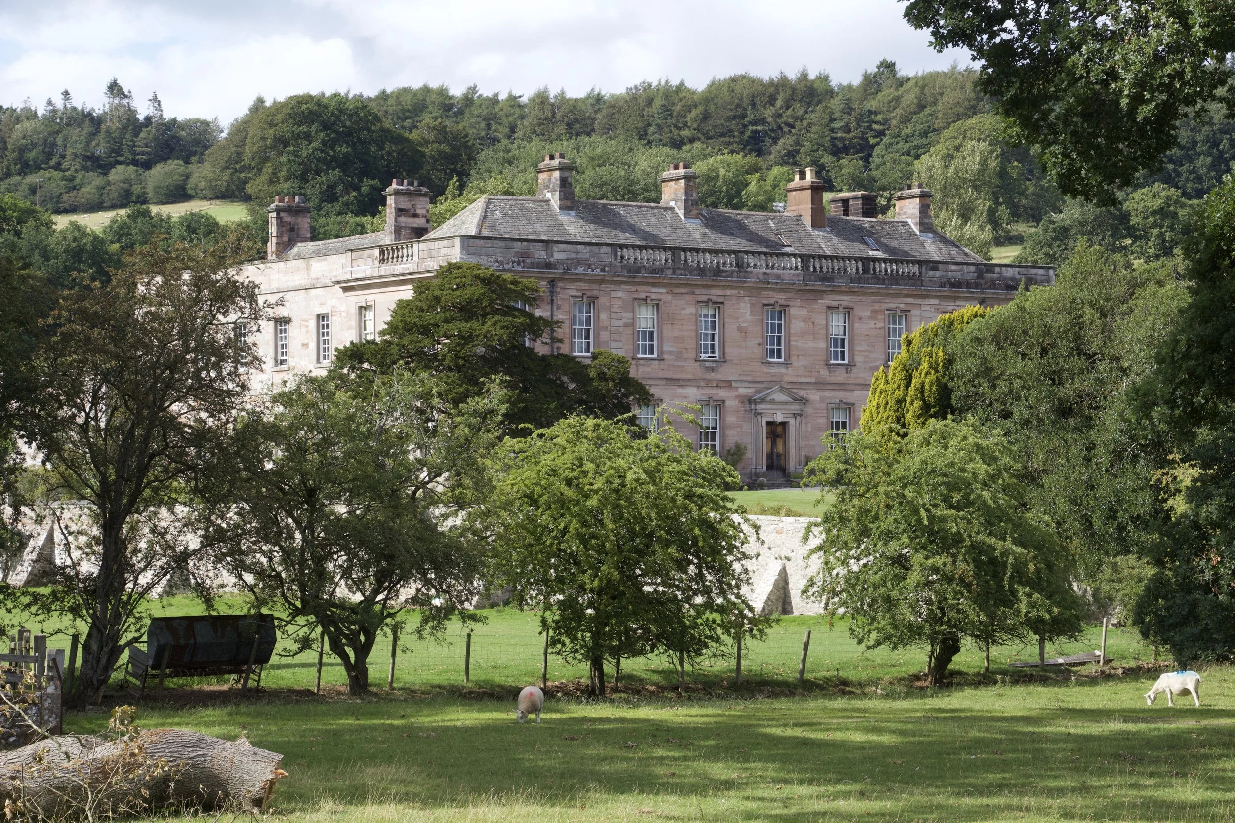
Begin among the parkland and ruins of Lowther Castle, where the story of the estate runs from early defensive buildings to the neo-Gothic castle ruins seen today.
River Lowther
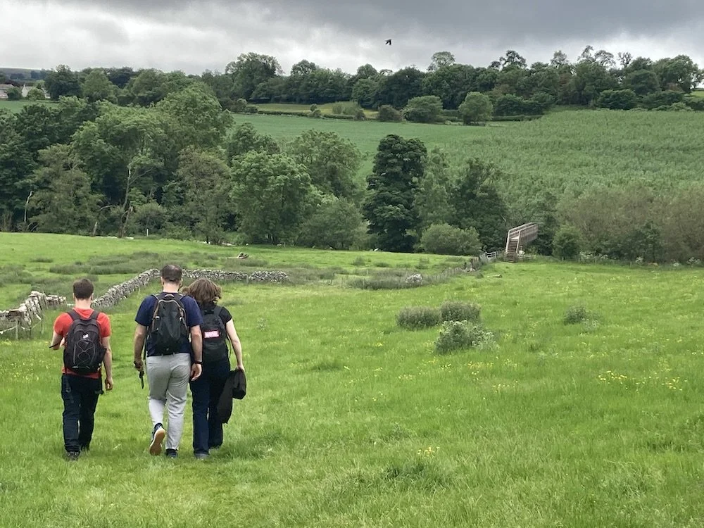
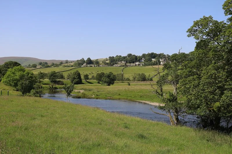
As the route drops towards the River Lowther, the landscape opens into floodplain, pasture and riverside scenery. The Lowther Estate’s regenerative farming work includes reconnecting the river and tributaries to the natural floodplain, planting trees and wildflower meadows, and supporting richer habitats for wildlife.
Ancient Stones and Old Routes
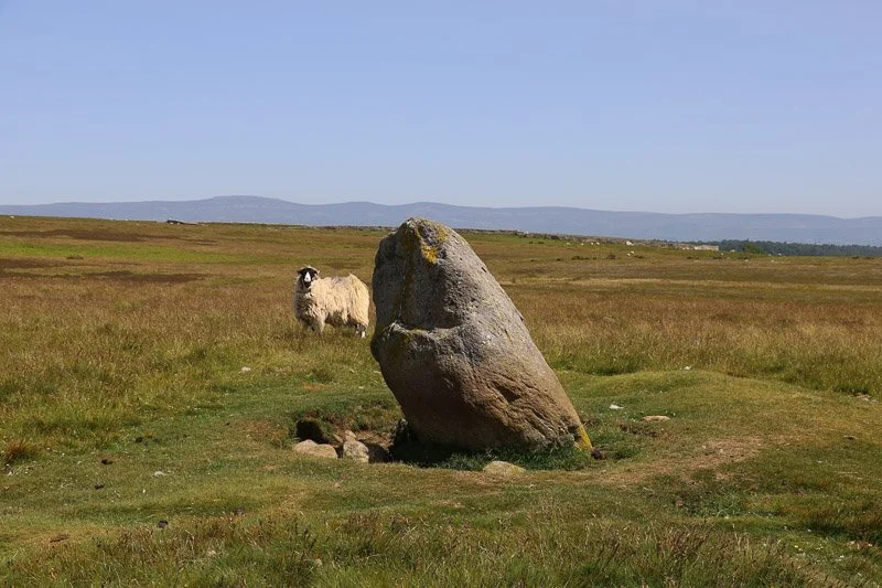
On Askham Fell and nearby Moor Divock, the walk enters a much older landscape of ancient routes, cairns and stone circles. Cockpit Stone Circle is one of the best-known Bronze Age sites in the area, standing among traces of movement and settlement stretching back thousands of years.

Askham Fell and sweeping views
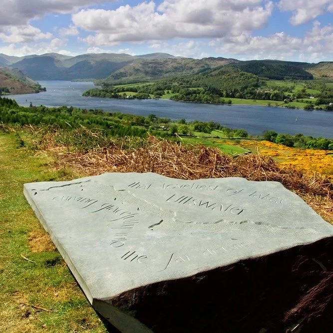
Askham Fell gives the loop its open, upland character, with views back towards Ullswater and the surrounding fells. Artist Tim Watson chose a nearby viewpoint on Heugh Scar for his Virtual Art Gallery piece Cadence, inspired by the way the view opens suddenly over the lake and the ancient remains of the fell.
Route maps and downloads
Download the GPX route before setting off. They are intended as a guide, so please check current conditions, rights of way, opening times and transport before travelling.
Buy the guidebook
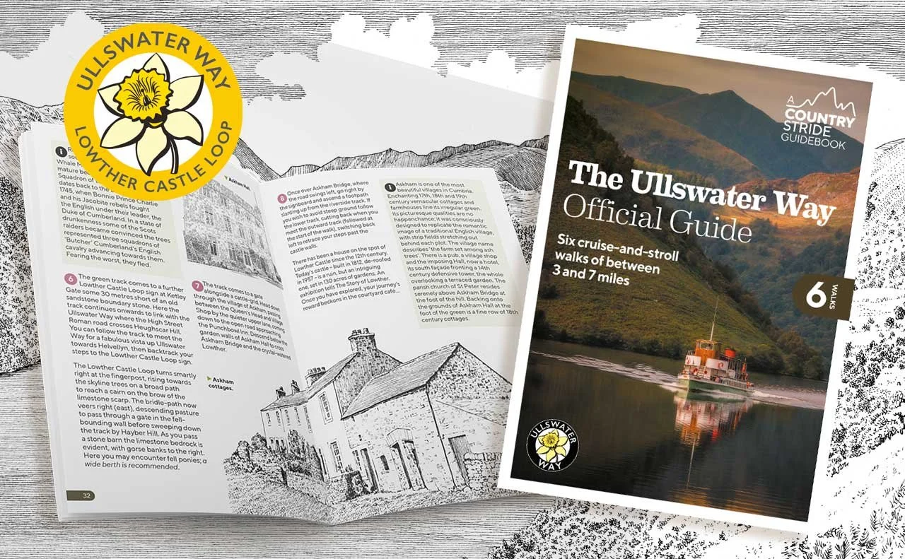
The Lowther Castle Loop is included in the Ullswater Way Official Guide by Mark Richards, which is useful for exploring shorter walks and linked routes around Ullswater. You can buy the guidebook from local shops and information centres, or order online.
Plan your walk
-
Lowther Castle is the natural starting point for the standard Lowther Castle Loop, with parking and visitor facilities when open.
You can also start from Pooley Bridge if you want a longer walk and are based in the area and don’t want to drive.
Allow around 17 km / 10.5 miles for the full route from Pooley Bridge.
The Ullswater Bus links Pooley Bridge, Askham and Lowther Castle, making it easier to walk the route without a car. Ullswater ‘Steamers’ stop at Pooley Bridge, giving another car-free way to connect with the longer route.
Useful links:
-
This is a varied countryside route, with woodland paths, riverside sections, meadows, lanes and open fell. The fell section around Askham Fell can feel exposed, and paths may be muddy, uneven or slippery after wet weather. Wear suitable footwear, carry waterproofs, and use the map or GPX route alongside the guidebook.
-
Lowther Castle has visitor facilities when open, and Askham has village options including pubs and a shop. Pooley Bridge has additional places to eat and drink if you are starting or finishing the longer route there. Opening times can vary, so check before relying on them.
-
This is not promoted as an accessible route. It includes uneven field paths, woodland tracks, lanes, gates, slopes and open fell sections, which may be muddy or difficult after wet weather.
Lowther Castle and Askham may offer shorter options for visitors looking for easier access, but please check local access information before travelling.
-
The route passes through a working rural landscape with farmland, parkland, open fell and village sections.
Please follow the Countryside Code: keep to paths, leave gates as you find them, take litter home, keep dogs under close control and use a lead near livestock or where signs ask you to.
History of the Lowther Loop
The Lowther Castle Loop is one of the linked routes that grew from the success of the Ullswater Way, extending the walking network beyond the lakeshore into the quieter countryside around Lowther, Helton, Askham and Askham Fell.
It gives walkers a different perspective on the Ullswater landscape: castle parkland, river restoration, village lanes, open fell and prehistoric remains, all within reach of Pooley Bridge and the northern end of the lake.
Continue exploring
Enjoyed the Lowther Castle Loop? Continue towards Ullswater with the Eamont Way and Ullswater Way, explore the gentler Dalemain Loop, or discover more stories through the Ullswater Heritage Trail.